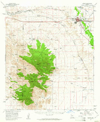
1958 Map of Benson
USGS Topo · Published 1962About this map
The San Pedro River valley defines the character of this mid-century landscape, where the agricultural community of Pomerene and the regional hub of Benson sit at the intersection of river, rail, and road. This 1958 field-checked survey highlights a period of Cold War era infrastructure, noted by an Airway Beacon and a newly built Benson Airport, alongside local leisure spots like a Drive-in Theater and a Swimming Pool.
Find a feature on this map
89 named features on this map. Tap any name to fly to it.
Don’t see what you’re looking for? This feature index may not catch every label — zoom into the map to look around manually.
Map Details
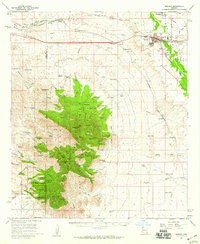
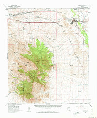
Editions of this 1958 Benson Map
3 editions found
Other maps of this area

1904 · Patagonia
USGS Topo · 1:125,000

1904 · Tucson
USGS Topo · 1:125,000

1905 · Patagonia
USGS Topo · 1:125,000

1905 · Tucson
USGS Topo · 1:125,000

1915 · Benson
USGS Topo · 1:125,000

1922 · St. David
USGS Topo · 1:62,500

1926 · Whetstone
USGS Topo · 1:62,500

1932 · Fairbank
USGS Topo · 1:62,500

1932 · Elgin
USGS Topo · 1:62,500

1938 · Huachuca
USGS Topo · 1:62,500