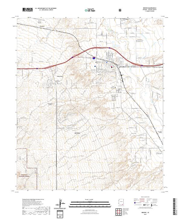
2021 Map of Benson
USGS Topo · Published 2021About this map
The San Pedro River corridor anchors this 2021 survey, documenting the modern development of Benson and its surrounding desert communities. The map traces the critical water infrastructure of the San Pedro Valley, including the Pomerene Canal and numerous dry washes like Cadillac Wash and Sheep Wash that define the arid geography. To the west, the residential growth of Whetstone is visible near the Cochise College Benson Center, while the southern reaches of the map extend into the Coronado National Forest. Genealogists and local historians can locate several burial grounds within the city limits, including 7th Street Cem and High Street Cem, alongside the more modern Cochise Gardens of Rest Cem. This modern record illustrates the transition from the settlement at Chamisio to the contemporary suburban landscape of Pomerene.
Find a feature on this map
126 named features on this map. Tap any name to fly to it.
Don’t see what you’re looking for? This feature index may not catch every label — zoom into the map to look around manually.
Map Details
Editions of this 2021 Benson Map
This is the sole edition of this map. No revisions or reprints were ever made.
Other maps of this area

1915 · Benson
USGS Topo · 1:125,000

1922 · St. David
USGS Topo · 1:62,500

1926 · Whetstone
USGS Topo · 1:62,500

1943 · Benson
USGS Topo · 1:125,000

1943 · Dragoon
USGS Topo · 1:62,500

1945 · Happy Valley
USGS Topo · 1:62,500

1956 · Nogales
USGS Topo · 1:250,000

1956 · Tucson
USGS Topo · 1:250,000

1958 · Nogales
USGS Topo · 1:250,000

1958 · Tucson
USGS Topo · 1:250,000