Loading...
Loading map...2022 Map of Manawa
USGS Topo · Published 2022About this map
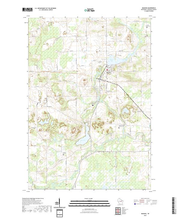
Manawa serves as the central hub of this Waupaca County landscape, situated where the Little Wolf River flows into Manawa Pond 275. The surrounding terrain is defined by a dense network of glacial lakes and wetlands, including Bear Lake, Mountain Lake, and Storm Lake. The map reveals a high density of rural burial sites that provide significant value for genealogical research, such as the Little Creek Cem and Baldwins Mill Cem.
Find a feature on this map
82 named features on this map. Tap any name to fly to it.
Don’t see what you’re looking for? This feature index may not catch every label — zoom into the map to look around manually.
Map Details
Date Portrayed2022
Date Published2022
PublisherU.S. Geological Survey
Map TypeTopographic
Scale1:24000
Physical Dimensions24 x 29 inches
Editions of this 2022 Manawa Map
This is the sole edition of this map. No revisions or reprints were ever made.
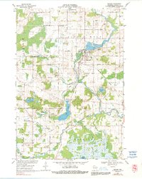
Historical Maps of Waupaca Through Time
Featured Locations
Source Details
SourceU.S. Geological Survey
CopyrightPublic Domain