Loading...
Loading map...2022 Map of Manchester
USGS Topo · Published 2022About this map
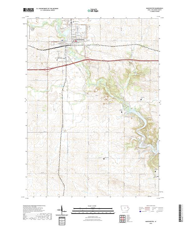
The city of Manchester serves as the focal point of this Eastern Iowa landscape, situated along the winding course of the Maquoketa River. As the seat of local government, the city includes the prominent Delaware County Courthouse and is supported by infrastructure like the Manchester Municipal Airport to the northwest. The river system is a defining geographic element, fed by tributaries such as Coffins Creek, Spring Br, and Todds Cr.
Find a feature on this map
86 named features on this map. Tap any name to fly to it.
Don’t see what you’re looking for? This feature index may not catch every label — zoom into the map to look around manually.
Map Details
Date Portrayed2022
Date Published2022
PublisherU.S. Geological Survey
Map TypeTopographic
Scale1:24000
Physical Dimensions24 x 29 inches
Editions of this 2022 Manchester Map
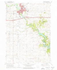
This is the sole edition of this map. No revisions or reprints were ever made.
Historical Maps of Golden Through Time
Featured Locations
Source Details
SourceU.S. Geological Survey
CopyrightPublic Domain