1973 Map of Manchester
USGS Topo · Published 1977About this map
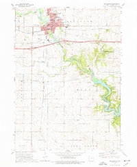
Manchester serves as the focal point of this Delaware County survey, situated at the bend of the Maquoketa River. The town's layout in the mid-1970s shows a concentration of civic life around the Courthouse, City Hall, and several schools including West Delaware High School and Lincoln School. To the north, the town expands toward Oakland Cemetery and the local Fairground.
Find a feature on this map
46 named features on this map. Tap any name to fly to it.
Don’t see what you’re looking for? This feature index may not catch every label — zoom into the map to look around manually.
Map Details
Editions of this 1973 Manchester Map
This is the sole edition of this map. No revisions or reprints were ever made.
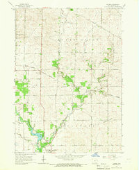
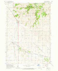
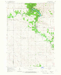
Other maps of this area

1900 · Anamosa
USGS Topo · 1:125,000

1901 · Oelwein
USGS Topo · 1:125,000

1902 · Elkader
USGS Topo · 1:125,000

1903 · Winthrop
USGS Topo · 1:125,000

1959 · Dubuque
USGS Topo · 1:250,000

1961 · Dubuque
USGS Topo · 1:250,000

1962 · Dubuque
USGS Topo · 1:250,000
1965 · Thorpe
USGS Topo · 1:24,000
1965 · Greeley
USGS Topo · 1:24,000
1965 · Dundee
USGS Topo · 1:24,000