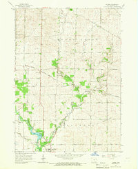
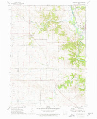
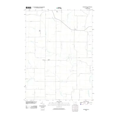
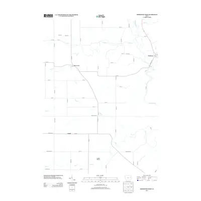
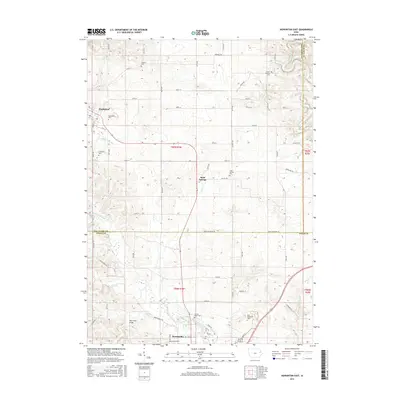
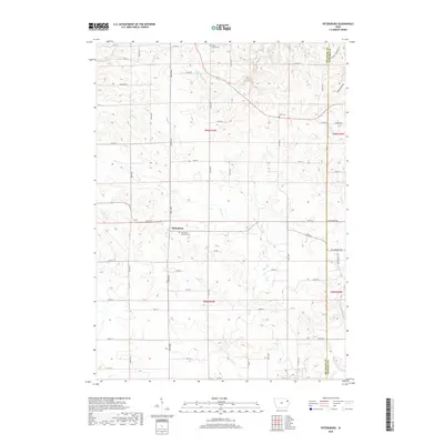
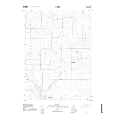
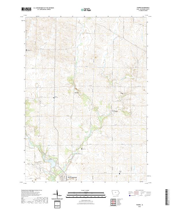
1965 Map of Thorpe
USGS Topo · Published 1966About this map
The Chicago Great Western railroad bisects the landscape of Delaware County, cutting through the small settlements of Thorpe and Dutchtown in the mid-1960s. This survey illustrates a quiet agricultural region defined by the meandering courses of Honey Creek and the Maquoketa River, where the Quaker Mill Pond reflects the early industrial history of the valley.
Find a feature on this map
26 named features on this map. Tap any name to fly to it.
Don’t see what you’re looking for? This feature index may not catch every label — zoom into the map to look around manually.
Map Details
Editions of this 1965 Thorpe Map
This is the sole edition of this map. No revisions or reprints were ever made.
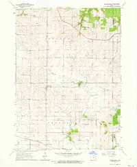
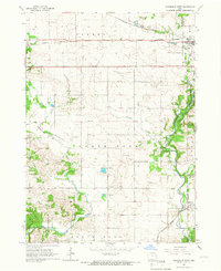
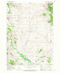
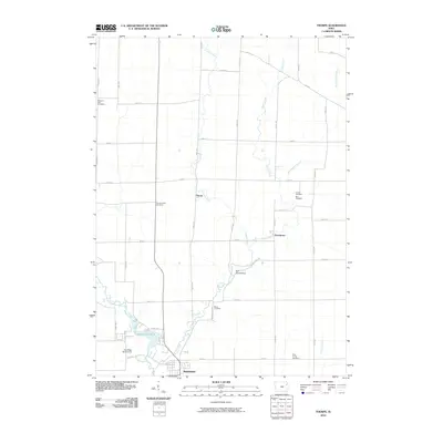
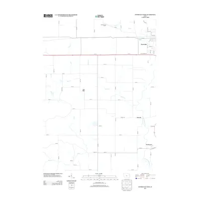
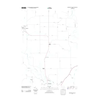
Historical Maps of Manchester Through Time
30 maps found
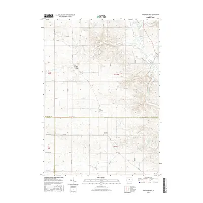
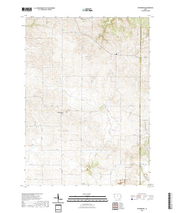
1962 Petersburg
Delaware County, IA
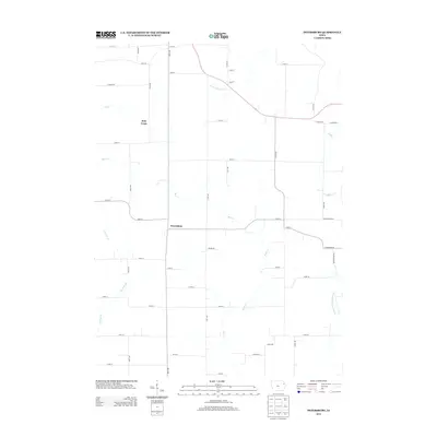
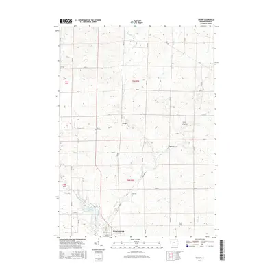
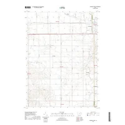
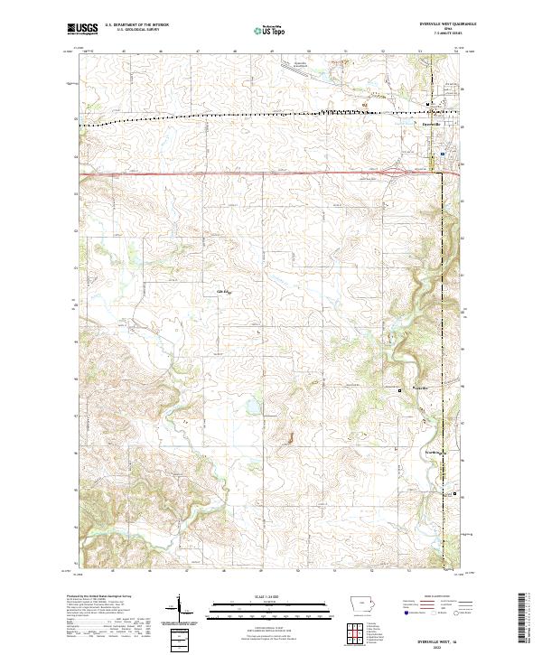
1965 Dyersville West
Delaware County, IA
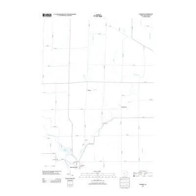
1965 Thorpe
Delaware County, IA
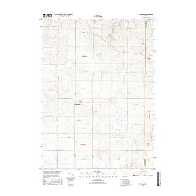
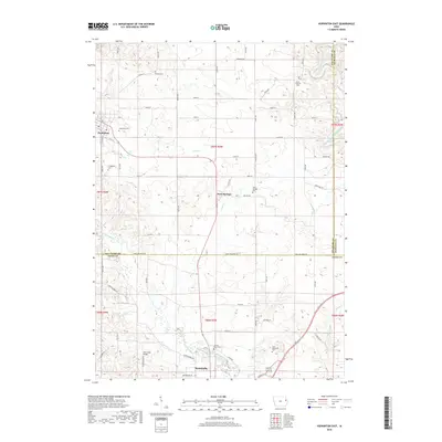
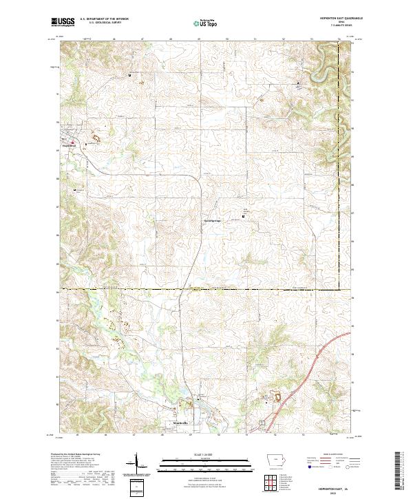
1966 Hopkinton East
Delaware County, IA
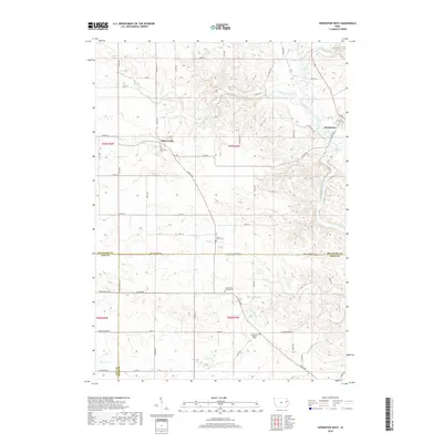
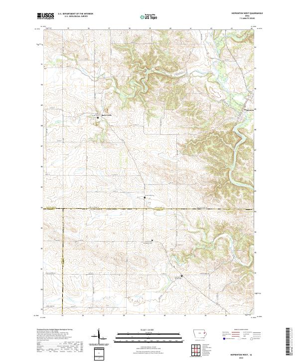
1973 Hopkinton West
Delaware County, IA
2010 Dyersville West
Delaware County, IA
2010 Hopkinton East
Delaware County, IA
2010 Hopkinton West
Delaware County, IA
2010 Petersburg
Delaware County, IA
2010 Thorpe
Delaware County, IA
2013 Dyersville West
Delaware County, IA
2013 Hopkinton East
Delaware County, IA
2013 Hopkinton West
Delaware County, IA
2013 Petersburg
Delaware County, IA
2013 Thorpe
Delaware County, IA
2015 Dyersville West
Delaware County, IA
2015 Hopkinton East
Delaware County, IA
2015 Hopkinton West
Delaware County, IA
2015 Petersburg
Delaware County, IA
2015 Thorpe
Delaware County, IA
2018 Dyersville West
Delaware County, IA
2018 Hopkinton East
Delaware County, IA
2018 Hopkinton West
Delaware County, IA
2018 Petersburg
Delaware County, IA
2018 Thorpe
Delaware County, IA
2022 Dyersville West
Delaware County, IA
2022 Hopkinton East
Delaware County, IA
2022 Hopkinton West
Delaware County, IA
2022 Petersburg
Delaware County, IA
2022 Thorpe
Delaware County, IA