
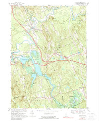
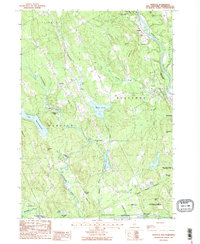
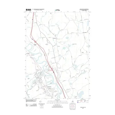
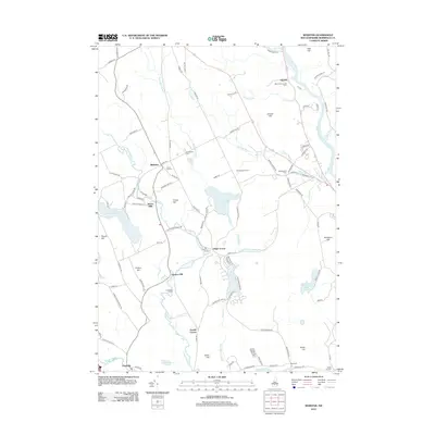
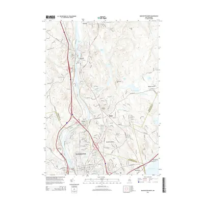
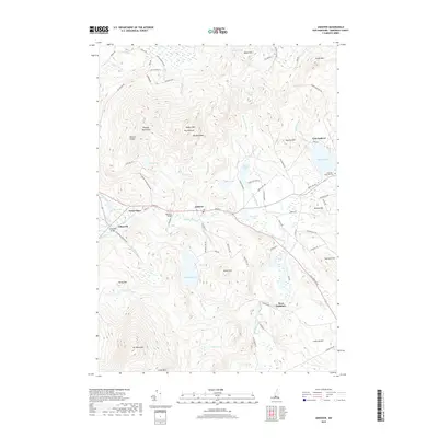
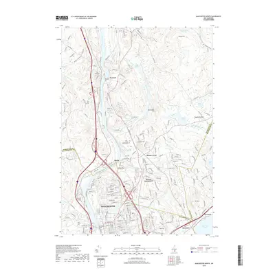
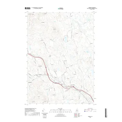
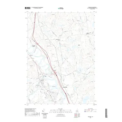
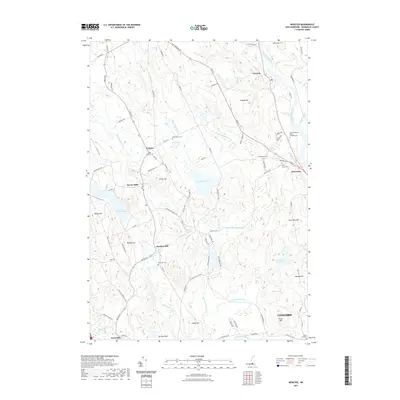
1977 Map of Manchester North
USGS Topo · Published 1981About this map
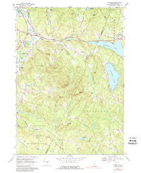
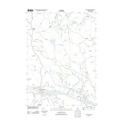
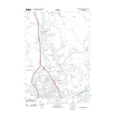
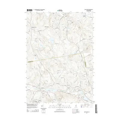
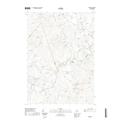
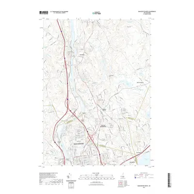
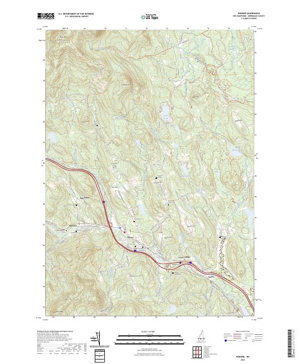
Hooksett and the northern reaches of Manchester are captured here during a period of significant suburban and infrastructure expansion in southern New Hampshire. This 1977 aerial survey reveals the complex highway interchanges and industrial development pressing against the traditional town centers. While the built environment dominates the lower half of the imagery, the eastern portion remains characterized by substantial water bodies including Tower Hill Pond and the northern edge of Massabesic Lake. The contrast between the densely developed corridors along the Merrimack River and the wooded areas around Martins Corner illustrates the region's mid-century transition from a mill-based economy to a modern transportation hub.
Find a feature on this map
5 named features on this map. Tap any name to fly to it.
Don’t see what you’re looking for? This feature index may not catch every label — zoom into the map to look around manually.
Map Details
Editions of this 1977 Manchester North Map
This is the sole edition of this map. No revisions or reprints were ever made.
Historical Maps of Manchester Through Time
111 maps found

1927 Penacook
Merrimack County, NH
1928 Mount Kearsarge
Merrimack County, NH

1931 Mount Kearsarge
Merrimack County, NH
1956 Mt. Kearsarge
Merrimack County, NH
1956 Penacook
Merrimack County, NH
1967 Gossville
Merrimack County, NH
1967 Hopkinton
Merrimack County, NH
1968 Manchester North
Merrimack County, NH
1969 Goffstown
Merrimack County, NH
1977 Manchester North
Merrimack County, NH

1987 Andover
Merrimack County, NH

1987 Bradford
Merrimack County, NH

1987 Danbury
Merrimack County, NH

1987 Henniker
Merrimack County, NH
1987 Loudon
Merrimack County, NH

1987 New London
Merrimack County, NH

1987 Northfield
Merrimack County, NH

1987 Penacook
Merrimack County, NH

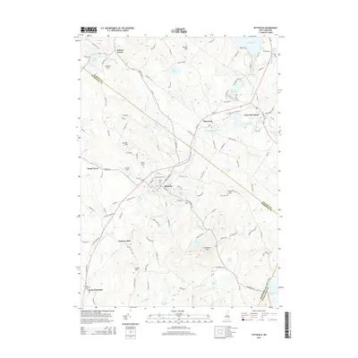
1987 Pittsfield
Merrimack County, NH

1987 Warner
Merrimack County, NH
1987 Webster
Merrimack County, NH

1995 Goffstown
Merrimack County, NH

1995 Gossville
Merrimack County, NH

1995 Henniker
Merrimack County, NH

1995 Hopkinton
Merrimack County, NH

1998 Andover
Merrimack County, NH

1998 Bradford
Merrimack County, NH

1998 New London
Merrimack County, NH

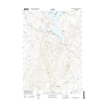
1998 Sunapee Lake South
Merrimack County, NH

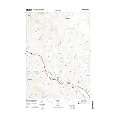
1998 Warner
Merrimack County, NH

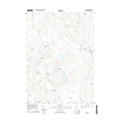
2000 Webster
Merrimack County, NH
2012 Andover
Merrimack County, NH
2012 Bradford
Merrimack County, NH
2012 Danbury
Merrimack County, NH
2012 Goffstown
Merrimack County, NH
2012 Gossville
Merrimack County, NH
2012 Henniker
Merrimack County, NH
2012 Hopkinton
Merrimack County, NH
2012 Loudon
Merrimack County, NH
2012 Manchester North
Merrimack County, NH
2012 New London
Merrimack County, NH
2012 Northfield
Merrimack County, NH
2012 Penacook
Merrimack County, NH
2012 Pittsfield
Merrimack County, NH
2012 Sunapee Lake South
Merrimack County, NH
2012 Warner
Merrimack County, NH
2012 Webster
Merrimack County, NH
2015 Andover
Merrimack County, NH
2015 Bradford
Merrimack County, NH
2015 Danbury
Merrimack County, NH
2015 Goffstown
Merrimack County, NH
2015 Gossville
Merrimack County, NH

2015 Henniker
Merrimack County, NH
2015 Hopkinton
Merrimack County, NH
2015 Loudon
Merrimack County, NH
2015 Manchester North
Merrimack County, NH
2015 New London
Merrimack County, NH
2015 Northfield
Merrimack County, NH
2015 Penacook
Merrimack County, NH
2015 Pittsfield
Merrimack County, NH
2015 Sunapee Lake South
Merrimack County, NH
2015 Warner
Merrimack County, NH
2015 Webster
Merrimack County, NH
2018 Andover
Merrimack County, NH
2018 Bradford
Merrimack County, NH
2018 Danbury
Merrimack County, NH
2018 Goffstown
Merrimack County, NH
2018 Gossville
Merrimack County, NH
2018 Henniker
Merrimack County, NH

2018 Hopkinton
Merrimack County, NH
2018 Loudon
Merrimack County, NH
2018 Manchester North
Merrimack County, NH
2018 New London
Merrimack County, NH
2018 Northfield
Merrimack County, NH
2018 Penacook
Merrimack County, NH

2018 Pittsfield
Merrimack County, NH
2018 Sunapee Lake South
Merrimack County, NH
2018 Warner
Merrimack County, NH
2018 Webster
Merrimack County, NH
2021 Andover
Merrimack County, NH
2021 Bradford
Merrimack County, NH
2021 Danbury
Merrimack County, NH
2021 Goffstown
Merrimack County, NH
2021 Gossville
Merrimack County, NH
2021 Henniker
Merrimack County, NH
2021 Hopkinton
Merrimack County, NH

2021 Loudon
Merrimack County, NH
2021 Manchester North
Merrimack County, NH
2021 New London
Merrimack County, NH
2021 Northfield
Merrimack County, NH
2021 Penacook
Merrimack County, NH
2021 Pittsfield
Merrimack County, NH
2021 Sunapee Lake South
Merrimack County, NH
2021 Warner
Merrimack County, NH
2021 Webster
Merrimack County, NH

2024 Andover
Merrimack County, NH
2024 Bradford
Merrimack County, NH

2024 Danbury
Merrimack County, NH
2024 Goffstown
Merrimack County, NH
2024 Gossville
Merrimack County, NH
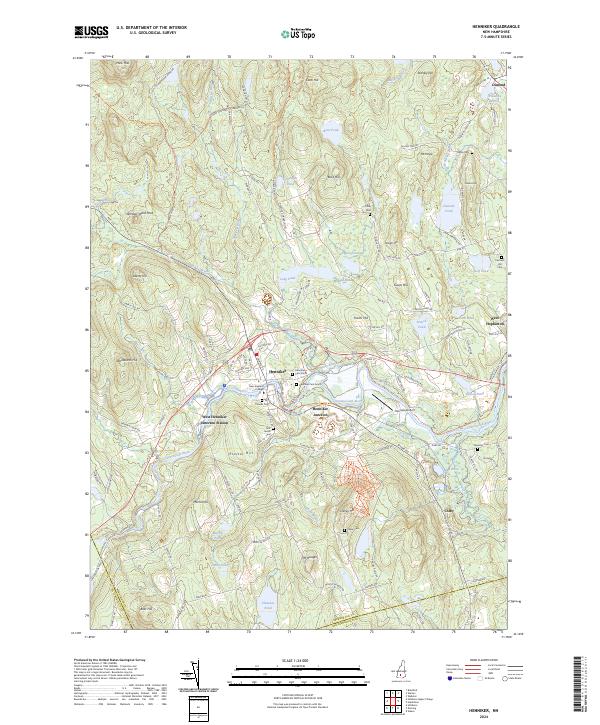
2024 Henniker
Merrimack County, NH
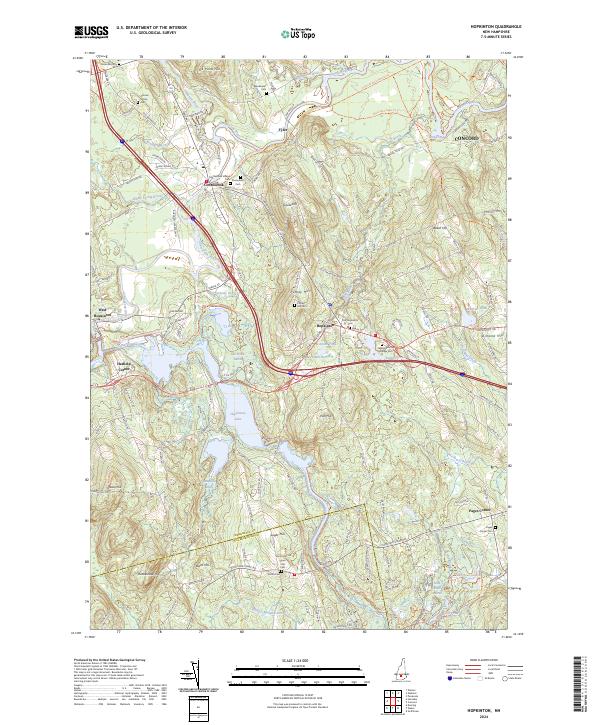
2024 Hopkinton
Merrimack County, NH

2024 Loudon
Merrimack County, NH

2024 Manchester North
Merrimack County, NH

2024 New London
Merrimack County, NH

2024 Northfield
Merrimack County, NH

2024 Penacook
Merrimack County, NH
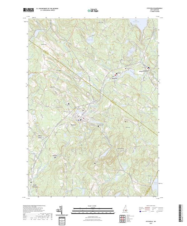
2024 Pittsfield
Merrimack County, NH
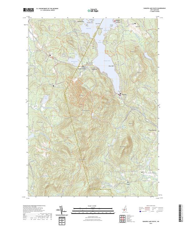
2024 Sunapee Lake South
Merrimack County, NH
2024 Warner
Merrimack County, NH

2024 Webster
Merrimack County, NH