
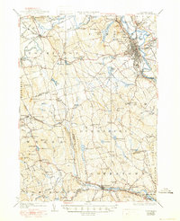
1927 Map of Concord
USGS Topo · Published 1927About this map
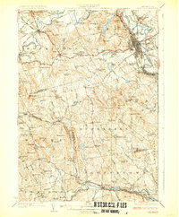
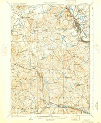
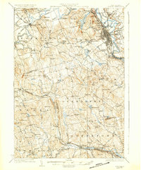
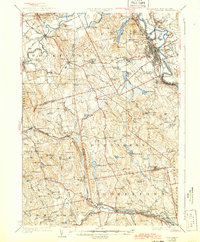
The Merrimack River serves as the central artery for this portion of southern New Hampshire, defining the layout of the state capital and surrounding mill towns. In Concord, the infrastructure of state government is prominent, including the State Prison, State Hospital, and State Camp Ground, while the prestige of St Pauls School sits west of the city center. The landscape is deeply carved by water, with the Contoocook River and Piscataquog River supporting numerous smaller settlements like Contoocook and Goffstown. Rural education is a visible priority across the terrain, evidenced by a dense network of neighborhood institutions such as Jewett School, Rockland School, and Pattee School. The Boston and Maine Railroad follows the river valleys, connecting industrial hubs like Bow Junction and Riverdale, while isolated landmarks like the Quaker Church in Weare hint at older community roots.
Find a feature on this map
130 named features on this map. Tap any name to fly to it.
Don’t see what you’re looking for? This feature index may not catch every label — zoom into the map to look around manually.
Map Details
Editions of this 1927 Concord Map
6 editions found
Other maps of this area

1900 · Peterboro
USGS Topo · 1:62,500

1905 · Manchester
USGS Topo · 1:62,500

1906 · Milford
USGS Topo · 1:62,500

1919 · Gilmanton
USGS Topo · 1:62,500

1921 · Suncook
USGS Topo · 1:62,500

1926 · Hillsboro
USGS Topo · 1:62,500

1927 · Penacook
USGS Topo · 1:62,500

1927 · Gilmanton
USGS Topo · 1:62,500

1928 · Mount Kearsarge
USGS Topo · 1:62,500

1929 · Hillsboro
USGS Topo · 1:62,500