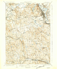
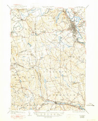
1927 Map of Concord
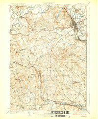
USGS Topo · Published 1937About this map
The Merrimack River corridor anchors this 1920s study, revealing the dense urban development of Concord alongside the pastoral townships of Dunbarton, Hopkinton, and Bow. In the state capital, the State Prison and State Camp Ground stand as significant institutions near the riverbanks, while the sprawl of Blossom Hill Cemetery and the prestigious St Pauls School define the city's western outskirts. This era was characterized by a robust rail network, with the Boston and Maine railroad connecting manufacturing hubs like West Concord and industrial points such as Iron Works.
Find a feature on this map
114 named features on this map. Tap any name to fly to it.
Don’t see what you’re looking for? This feature index may not catch every label — zoom into the map to look around manually.
Map Details
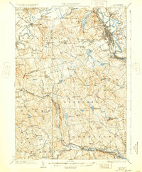
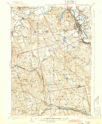
Editions of this 1927 Concord Map
6 editions found
Other maps of this area

1900 · Peterboro
USGS Topo · 1:62,500

1905 · Manchester
USGS Topo · 1:62,500

1906 · Milford
USGS Topo · 1:62,500

1919 · Gilmanton
USGS Topo · 1:62,500

1921 · Suncook
USGS Topo · 1:62,500

1926 · Hillsboro
USGS Topo · 1:62,500

1927 · Concord
USGS Topo · 1:62,500

1927 · Penacook
USGS Topo · 1:62,500
1927 · Gilmanton
USGS Topo · 1:62,500

1928 · Mount Kearsarge
USGS Topo · 1:62,500