
1927 Map of Penacook
USGS Topo · Published 1927About this map
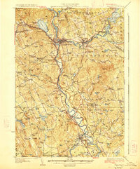
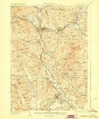
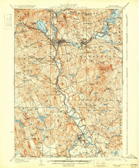
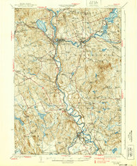
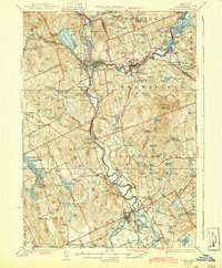
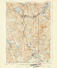
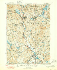
The Merrimack River serves as the central artery for this mid-1920s landscape, connecting the industrial hubs of Franklin and Penacook. This era shows a dense network of rural infrastructure, with numerous schoolhouses like Hackleboro School and Bean Hill School serving isolated agricultural communities. The convergence of the Winnipesaukee River and the Merrimack at Franklin Falls highlights the region's reliance on water power and rail transport, specifically the Boston and Maine RR which traces the river valleys. Cultural and social landmarks of the period are prominent, including the Soldiers Home near Tilton, the County Farm at Gerrish, and the Kezer Seminary in Canterbury Center. From the recreational grounds of Contoocook River Park to the small-scale industry at Swetts Mills, the map document a New Hampshire interior transitioning from traditional milling and farming toward a more modern, connected geography.
Find a feature on this map
146 named features on this map. Tap any name to fly to it.
Don’t see what you’re looking for? This feature index may not catch every label — zoom into the map to look around manually.
Map Details
Editions of this 1927 Penacook Map
8 editions found
Other maps of this area

1909 · Winnepesaukee
USGS Topo · 1:62,500

1919 · Gilmanton
USGS Topo · 1:62,500

1921 · Suncook
USGS Topo · 1:62,500

1925 · Holderness
USGS Topo · 1:62,500

1926 · Hillsboro
USGS Topo · 1:62,500

1927 · Concord
USGS Topo · 1:62,500

1927 · Gilmanton
USGS Topo · 1:62,500

1927 · Holderness
USGS Topo · 1:62,500

1927 · Cardigan
USGS Topo · 1:62,500

1928 · Mount Kearsarge
USGS Topo · 1:62,500