
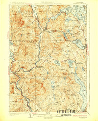
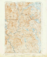
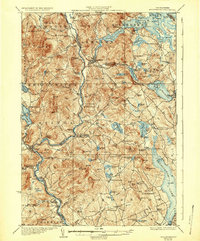
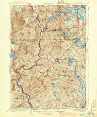
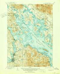
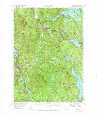
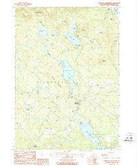
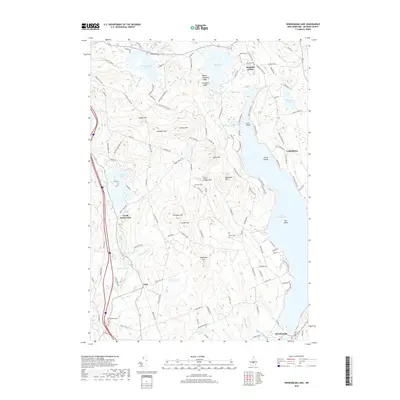
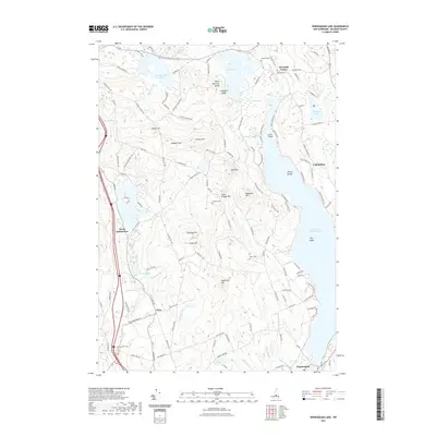
1927 Map of Holderness
USGS Topo · Published 1927About this map
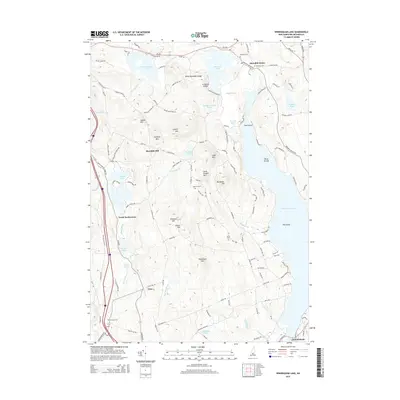
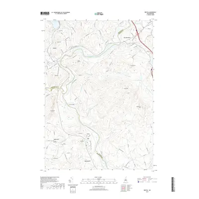
Ashland serves as a central hub on this 1920s landscape, where the Boston and Maine River railroad follows the winding path of the Pemigewasset River. The region is defined by its numerous glacial lakes and ponds, from the expansive Squam Lake and Little Squam Lake in the north to the northern reaches of Winisquam Lake in the south. This era shows a dense network of local education, with one-room schools such as Plaisted School, Sargent School, and Hardscrabble School scattered across the townships of New Hampton and Sanbornton.
Find a feature on this map
118 named features on this map. Tap any name to fly to it.
Don’t see what you’re looking for? This feature index may not catch every label — zoom into the map to look around manually.
Map Details
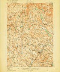
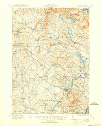
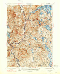
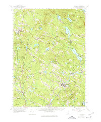
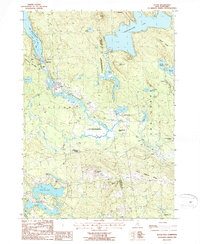
Editions of this 1927 Holderness Map
6 editions found
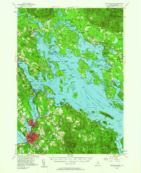
Historical Maps of Laconia Through Time
58 maps found
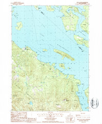
1909 Winnipesaukee
Belknap County, NH
1919 Gilmanton
Belknap County, NH

1925 Holderness
Belknap County, NH
1927 Gilmanton
Belknap County, NH
1927 Holderness
Belknap County, NH
1956 Holderness
Belknap County, NH
1956 Winnipesaukee
Belknap County, NH
1957 Gilmanton
Belknap County, NH
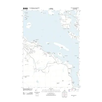
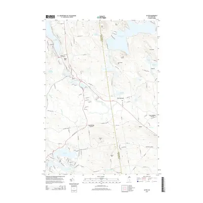
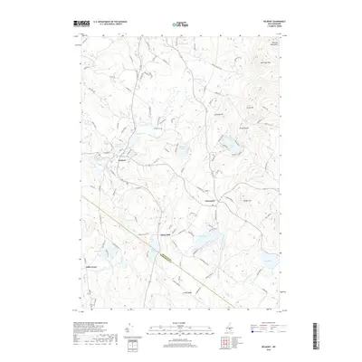
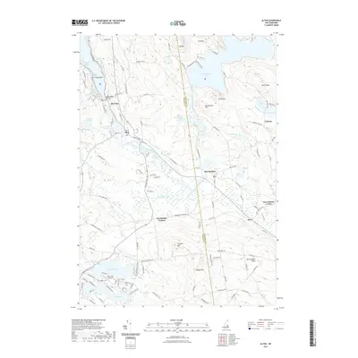
1987 Alton
Belknap County, NH

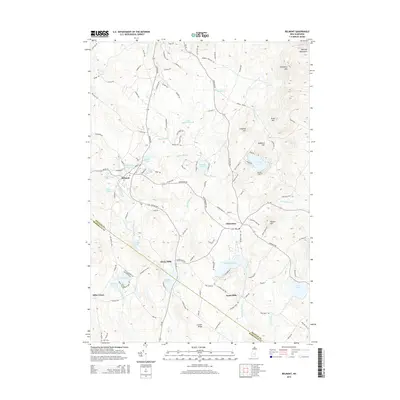
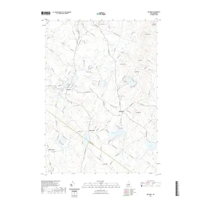
1987 Belmont
Belknap County, NH

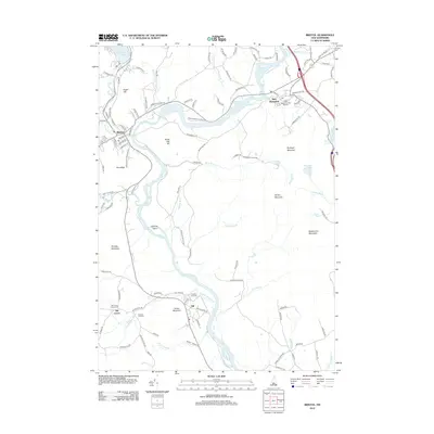
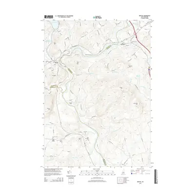
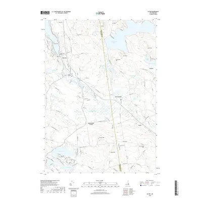
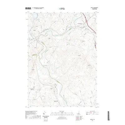
1987 Bristol
Belknap County, NH

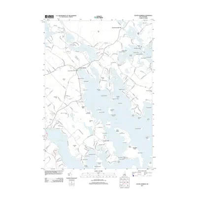
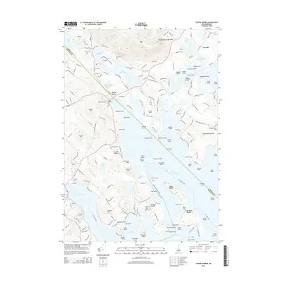
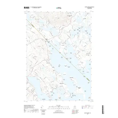
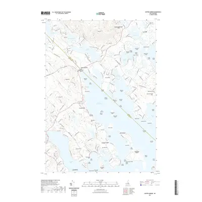
1987 Center Harbor
Belknap County, NH
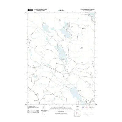
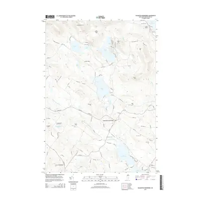
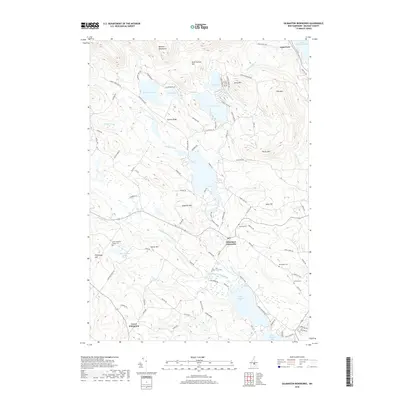
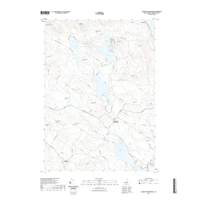
1987 Gilmanton Ironworks
Belknap County, NH

1987 Holderness
Belknap County, NH
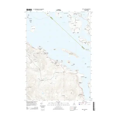
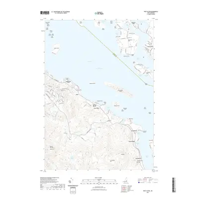
1987 West Alton
Belknap County, NH

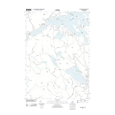
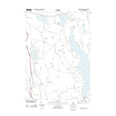
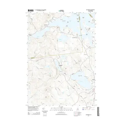
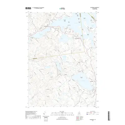
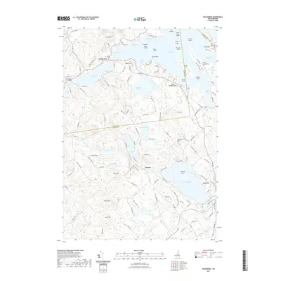
1987 Winnisquam Lake
Belknap County, NH

1998 Center Harbor
Belknap County, NH

2000 Bristol
Belknap County, NH
2012 Alton
Belknap County, NH
2012 Belmont
Belknap County, NH
2012 Bristol
Belknap County, NH
2012 Center Harbor
Belknap County, NH
2012 Gilmanton Ironworks
Belknap County, NH
2012 Holderness
Belknap County, NH
2012 West Alton
Belknap County, NH
2012 Winnisquam Lake
Belknap County, NH
2015 Alton
Belknap County, NH
2015 Belmont
Belknap County, NH
2015 Bristol
Belknap County, NH
2015 Center Harbor
Belknap County, NH
2015 Gilmanton Ironworks
Belknap County, NH
2015 Holderness
Belknap County, NH
2015 West Alton
Belknap County, NH
2015 Winnisquam Lake
Belknap County, NH
2018 Alton
Belknap County, NH
2018 Belmont
Belknap County, NH
2018 Bristol
Belknap County, NH
2018 Center Harbor
Belknap County, NH
2018 Gilmanton Ironworks
Belknap County, NH
2018 Holderness
Belknap County, NH

2018 West Alton
Belknap County, NH
2018 Winnisquam Lake
Belknap County, NH
2021 Alton
Belknap County, NH
2021 Belmont
Belknap County, NH
2021 Bristol
Belknap County, NH
2021 Center Harbor
Belknap County, NH
2021 Gilmanton Ironworks
Belknap County, NH
2021 Holderness
Belknap County, NH
2021 West Alton
Belknap County, NH
2021 Winnisquam Lake
Belknap County, NH
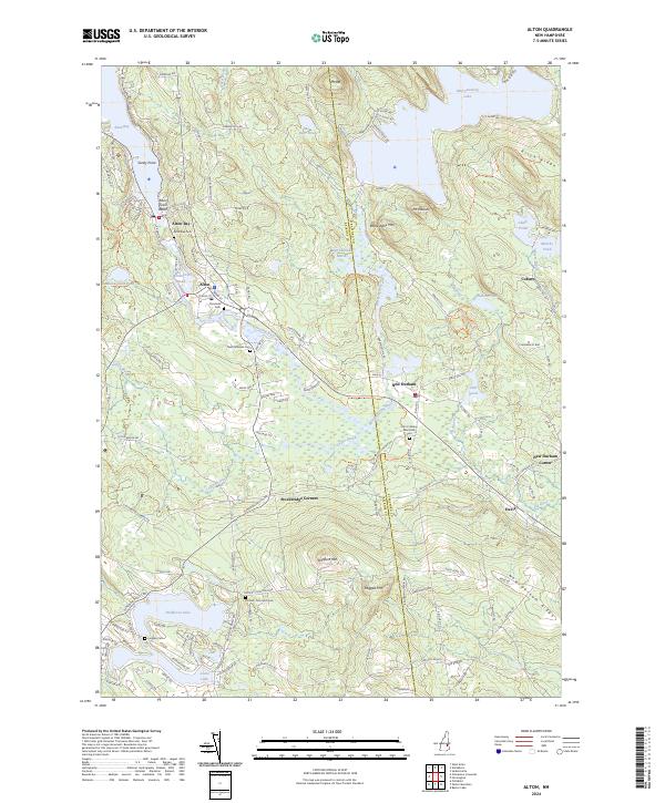
2024 Alton
Belknap County, NH
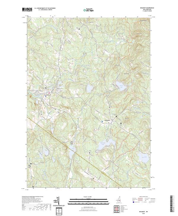
2024 Belmont
Belknap County, NH
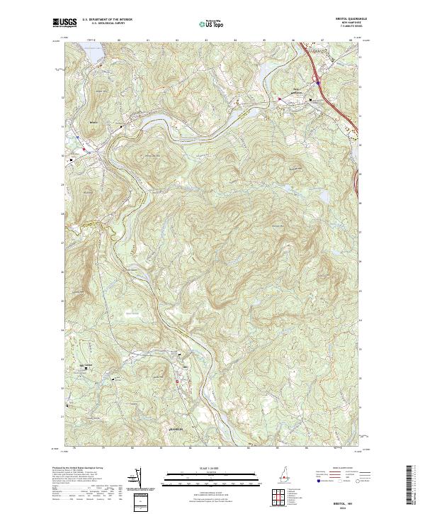
2024 Bristol
Belknap County, NH
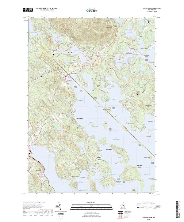
2024 Center Harbor
Belknap County, NH
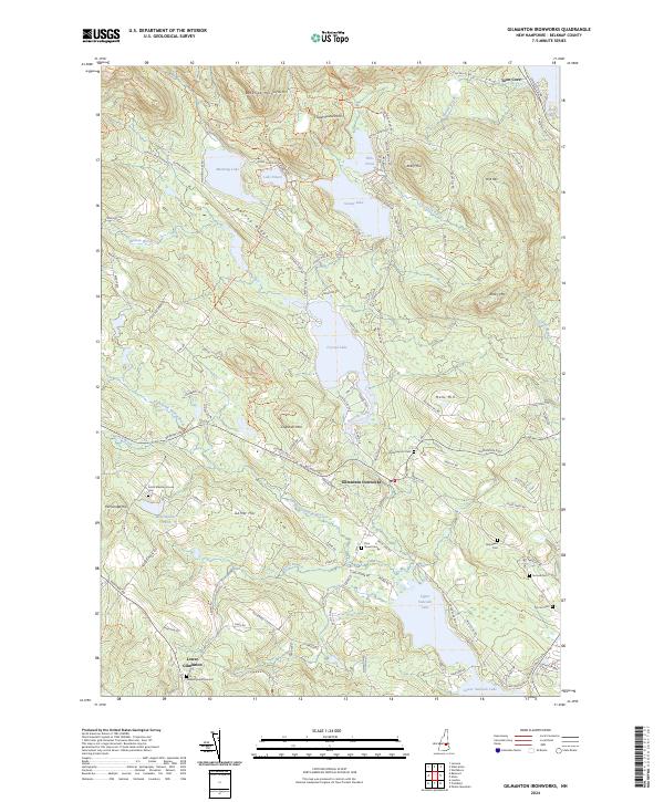
2024 Gilmanton Ironworks
Belknap County, NH
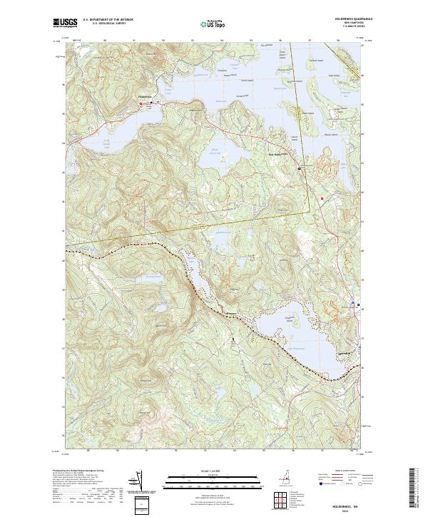
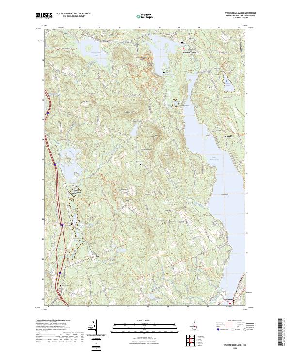
2024 Holderness
Belknap County, NH
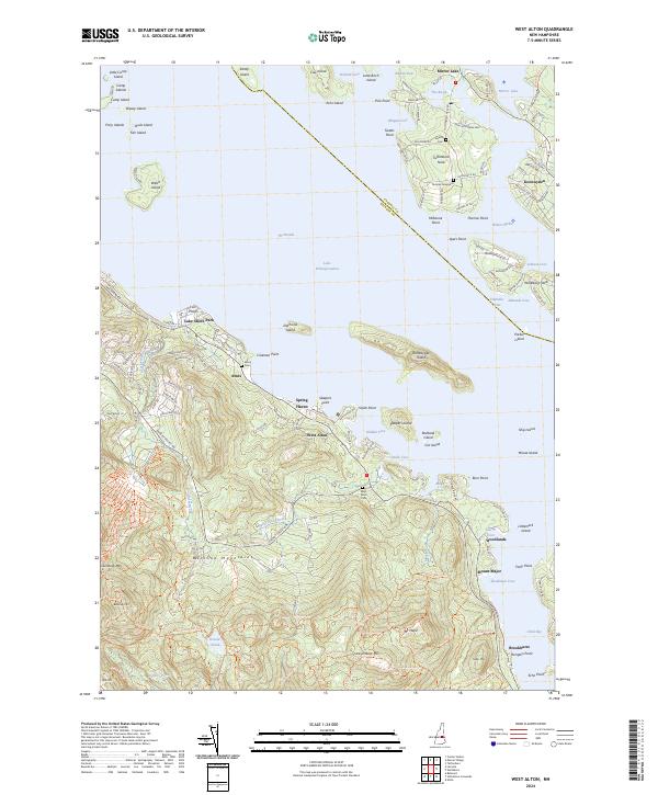
2024 West Alton
Belknap County, NH
2024 Winnisquam Lake
Belknap County, NH