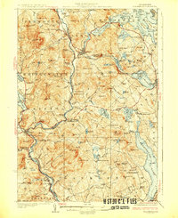
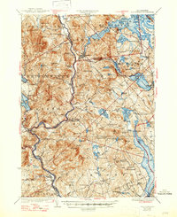
1927 Map of Holderness
USGS Topo · Published 1927About this map
The Pemigewasset River carves a deep valley through this 1920s New Hampshire landscape, serving as the primary corridor for the Boston and Maine Railroad. This period of development is characterized by a dense network of district schools and remote hilltop settlements before the mid-century consolidation of rural communities. The map highlights the significant water resources of the Lakes Region, including Squam Lake and Winnisquam Lake, which shaped local industry and early recreation.
Find a feature on this map
126 named features on this map. Tap any name to fly to it.
Don’t see what you’re looking for? This feature index may not catch every label — zoom into the map to look around manually.
Map Details
Editions of this 1927 Holderness Map
6 editions found
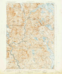
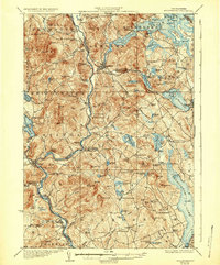
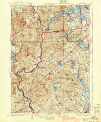
Other maps of this area

1909 · Winnepesaukee
USGS Topo · 1:62,500

1919 · Gilmanton
USGS Topo · 1:62,500

1925 · Holderness
USGS Topo · 1:62,500

1927 · Penacook
USGS Topo · 1:62,500

1927 · Gilmanton
USGS Topo · 1:62,500

1927 · Holderness
USGS Topo · 1:62,500

1927 · Cardigan
USGS Topo · 1:62,500

1928 · Mount Kearsarge
USGS Topo · 1:62,500

1928 · Plymouth
USGS Topo · 1:62,500

1928 · Rumney
USGS Topo · 1:62,500