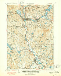
1927 Map of Penacook
USGS Topo · Published 1950About this map
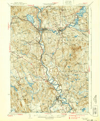
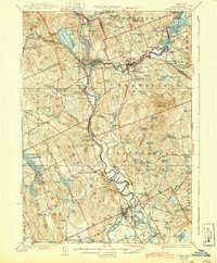
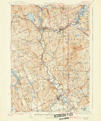
The Pemigewasset River and Winnepesaukee River converge at Franklin to form the Merrimack River, a waterway that defined the industrial and social life of these valley towns in the mid-1920s. Along the riverbanks, the Boston And Maine railroad links settlements like Lochmere and Boscawen, while the higher ground is dotted with small rural schools and family landmarks. Cultural history is anchored by Daniel Websters Birthplace and the Soldiers Home near Franklin Falls.
Find a feature on this map
166 named features on this map. Tap any name to fly to it.
Don’t see what you’re looking for? This feature index may not catch every label — zoom into the map to look around manually.
Map Details
Editions of this 1927 Penacook Map
8 editions found
Other maps of this area

1909 · Winnepesaukee
USGS Topo · 1:62,500

1919 · Gilmanton
USGS Topo · 1:62,500

1921 · Suncook
USGS Topo · 1:62,500

1925 · Holderness
USGS Topo · 1:62,500

1926 · Hillsboro
USGS Topo · 1:62,500

1927 · Concord
USGS Topo · 1:62,500

1927 · Penacook
USGS Topo · 1:62,500

1927 · Gilmanton
USGS Topo · 1:62,500

1927 · Holderness
USGS Topo · 1:62,500

1927 · Cardigan
USGS Topo · 1:62,500