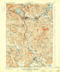
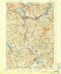
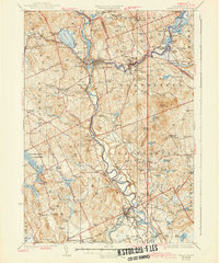
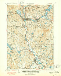
1927 Map of Penacook
USGS Topo · Published 1931About this map
The Merrimack River and Winnipesaukee River converge at Franklin, forming the central industrial and transportation corridor of this 1920s-era landscape. The region is defined by a dense network of rural infrastructure, where nearly every township maintains a series of neighborhood schools such as the Bashan School, Dyers Crossing School, and Tebbets School. Landmark sites like the Daniel Webster Birthplace and the Soldiers Home in Tilton sit alongside large-scale communal operations including the County Farm and the Kezer Seminary in Canterbury.
Find a feature on this map
141 named features on this map. Tap any name to fly to it.
Don’t see what you’re looking for? This feature index may not catch every label — zoom into the map to look around manually.
Map Details
Editions of this 1927 Penacook Map
8 editions found
Other maps of this area

1909 · Winnepesaukee
USGS Topo · 1:62,500

1919 · Gilmanton
USGS Topo · 1:62,500

1921 · Suncook
USGS Topo · 1:62,500

1925 · Holderness
USGS Topo · 1:62,500

1926 · Hillsboro
USGS Topo · 1:62,500

1927 · Concord
USGS Topo · 1:62,500

1927 · Penacook
USGS Topo · 1:62,500

1927 · Gilmanton
USGS Topo · 1:62,500

1927 · Holderness
USGS Topo · 1:62,500

1927 · Cardigan
USGS Topo · 1:62,500