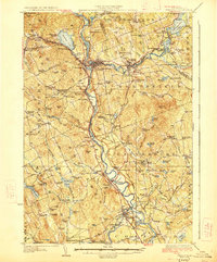
1927 Map of Penacook
USGS Topo · Published 1927About this map
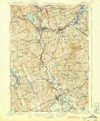
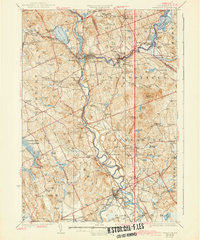
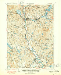
Franklin Falls and the surrounding industrial corridor along the Winnipesaukee River anchor this 1927 study of Merrimack County. The landscape is defined by the convergence of major waterways and the Boston and Maine RR, which links settlements like Boscawen, Gerrish, and East Tilton. Educational and social institutions are remarkably dense across the townships, from the Daniel Webster Birthplace near Webster Place to the Soldiers Home in Tilton. The rural uplands are dotted with dozens of neighborhood schoolhouses, including the Hackleboro School and Water Street School, reflecting a late 19th-century settlement pattern of localized agrarian communities. The map also documents significant recreational and civic landmarks of the era, such as Contocook River Park near Penacook and the sprawling County Farm along the Merrimack, providing a detailed view of New Hampshire's central valley before modern highway expansion.
Find a feature on this map
164 named features on this map. Tap any name to fly to it.
Don’t see what you’re looking for? This feature index may not catch every label — zoom into the map to look around manually.
Map Details
Editions of this 1927 Penacook Map
8 editions found
Other maps of this area

1909 · Winnepesaukee
USGS Topo · 1:62,500

1919 · Gilmanton
USGS Topo · 1:62,500

1921 · Suncook
USGS Topo · 1:62,500

1925 · Holderness
USGS Topo · 1:62,500

1926 · Hillsboro
USGS Topo · 1:62,500

1927 · Concord
USGS Topo · 1:62,500

1927 · Penacook
USGS Topo · 1:62,500

1927 · Gilmanton
USGS Topo · 1:62,500

1927 · Holderness
USGS Topo · 1:62,500

1927 · Cardigan
USGS Topo · 1:62,500