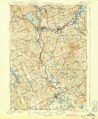
1927 Map of Penacook
USGS Topo · Published 1939About this map
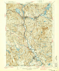
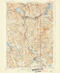
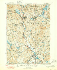
The confluence of the Merrimack River and Contoocook River at Penacook serves as the focal point for this 1920s topography, illustrating the transition from industrial river towns to upland rural districts. The Boston and Maine RR corridors define the transport network, connecting significant settlements like Franklin Falls, Boscawen, and Northfield. Educational and civic life is remarkably dense across the hills, with dozens of local institutions such as the Kezer Seminary and Blanchard School serving established communities.
Find a feature on this map
134 named features on this map. Tap any name to fly to it.
Don’t see what you’re looking for? This feature index may not catch every label — zoom into the map to look around manually.
Map Details
Editions of this 1927 Penacook Map
8 editions found
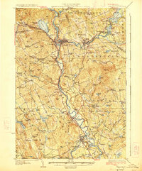
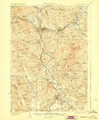
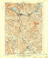
Other maps of this area

1909 · Winnepesaukee
USGS Topo · 1:62,500

1919 · Gilmanton
USGS Topo · 1:62,500

1921 · Suncook
USGS Topo · 1:62,500

1925 · Holderness
USGS Topo · 1:62,500

1926 · Hillsboro
USGS Topo · 1:62,500

1927 · Concord
USGS Topo · 1:62,500

1927 · Penacook
USGS Topo · 1:62,500

1927 · Gilmanton
USGS Topo · 1:62,500

1927 · Holderness
USGS Topo · 1:62,500

1927 · Cardigan
USGS Topo · 1:62,500