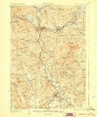
1927 Map of Penacook
USGS Topo · Published 1927About this map
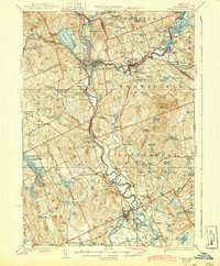
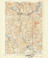
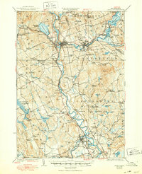
Merrimack River industry and rail-side growth define the geography of central New Hampshire in the mid-1920s. The Boston and Maine RR acts as the primary artery for the region, connecting the dense milling center at Franklin Falls with satellite junctions such as Franklin Junc and Belmont June. While the river valleys are bustling with transit, the surrounding hills are dotted with foundational social institutions, including the Soldiers Home in Tilton and the County Farm near Gerrish. Historical memory is anchored at the Daniel Webster Birthplace, while dozens of district schoolhouses like Flag Hole School and Dyers Crossing School mark the rural settlement pattern before school consolidation. The landscape is also one of leisure and early conservation, evidenced by the Contoocook River Park and the expansive waters of Webster Lake and Lake Winnisquam.
Find a feature on this map
152 named features on this map. Tap any name to fly to it.
Don’t see what you’re looking for? This feature index may not catch every label — zoom into the map to look around manually.
Map Details
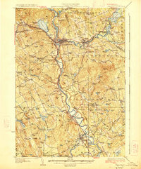
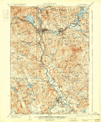
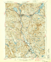
Editions of this 1927 Penacook Map
8 editions found
Other maps of this area

1909 · Winnepesaukee
USGS Topo · 1:62,500

1919 · Gilmanton
USGS Topo · 1:62,500

1921 · Suncook
USGS Topo · 1:62,500

1925 · Holderness
USGS Topo · 1:62,500

1926 · Hillsboro
USGS Topo · 1:62,500

1927 · Concord
USGS Topo · 1:62,500

1927 · Penacook
USGS Topo · 1:62,500

1927 · Gilmanton
USGS Topo · 1:62,500

1927 · Holderness
USGS Topo · 1:62,500

1927 · Cardigan
USGS Topo · 1:62,500