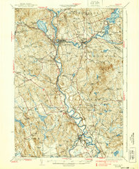
1927 Map of Penacook
USGS Topo · Published 1939About this map
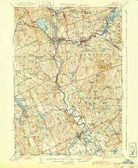
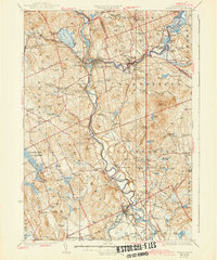
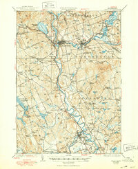
The confluence of the Pemigewasset River and Winnipesaukee River at Franklin forms the headwaters of the Merrimack River, creating a landscape defined by water-powered industry and early transport. In the mid-1920s, this region was a network of manufacturing hubs like Franklin Falls and Tilton, balanced by rural agrarian communities in Boscawen and Canterbury. The Boston and Maine railroad tracks hug the river valleys, connecting smaller stations like Halcyon Sta and Northfield Sta to larger centers. Notable landmarks such as the Daniel Webster Birthplace and the Soldiers Home in Tilton reflect the area's deep historical roots. The map also reveals an extensive system of district schools, including the Dyers Crossing School and Mountain School, which served the scattered populations on hills like Bean Hill and Cilley Hill.
Find a feature on this map
147 named features on this map. Tap any name to fly to it.
Don’t see what you’re looking for? This feature index may not catch every label — zoom into the map to look around manually.
Map Details
Editions of this 1927 Penacook Map
8 editions found
Other maps of this area

1909 · Winnepesaukee
USGS Topo · 1:62,500

1919 · Gilmanton
USGS Topo · 1:62,500

1921 · Suncook
USGS Topo · 1:62,500

1925 · Holderness
USGS Topo · 1:62,500

1926 · Hillsboro
USGS Topo · 1:62,500

1927 · Concord
USGS Topo · 1:62,500

1927 · Penacook
USGS Topo · 1:62,500

1927 · Gilmanton
USGS Topo · 1:62,500

1927 · Holderness
USGS Topo · 1:62,500

1927 · Cardigan
USGS Topo · 1:62,500