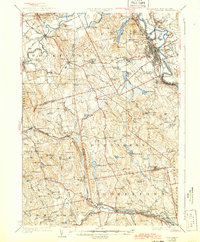
1927 Map of Concord
USGS Topo · Published 1943About this map
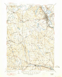
Concord functions as the industrial and administrative anchor of this mid-1920s landscape, where the Merrimack River meets a dense network of institutional and transport infrastructure. The map documents significant public landmarks including the State Prison, State Hospital, and the sprawling State Camp Ground east of the river. Beyond the city center, the Boston and Maine RR carves through the Merrimack and Contoocook River valleys, connecting outlying villages like Contoocook, West Hopkinton, and Goffstown. Rural education and local heritage are well-preserved through dozens of labeled sites such as St Pauls School, the Quaker Church, and numerous numbered schoolhouses like School No 1. The terrain is defined by family-named heights such as Putney Hill and Gould Hill, while the Piscataquog River and various mill ponds indicate the water-powered settlement patterns of Weare and Dunbarton.
Find a feature on this map
125 named features on this map. Tap any name to fly to it.
Don’t see what you’re looking for? This feature index may not catch every label — zoom into the map to look around manually.
Map Details
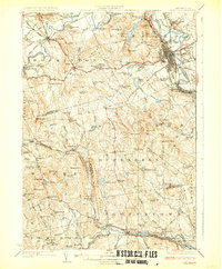
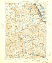
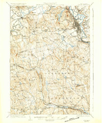
Editions of this 1927 Concord Map
6 editions found
Other maps of this area

1900 · Peterboro
USGS Topo · 1:62,500

1905 · Manchester
USGS Topo · 1:62,500

1906 · Milford
USGS Topo · 1:62,500

1919 · Gilmanton
USGS Topo · 1:62,500

1921 · Suncook
USGS Topo · 1:62,500

1926 · Hillsboro
USGS Topo · 1:62,500

1927 · Concord
USGS Topo · 1:62,500

1927 · Penacook
USGS Topo · 1:62,500

1927 · Gilmanton
USGS Topo · 1:62,500

1928 · Mount Kearsarge
USGS Topo · 1:62,500