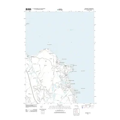
2012 Map of Manomet
USGS Topo · Published 2012About this map
Manomet and its neighboring seaside villages characterize this portion of the Plymouth coastline, where residential development is concentrated along the Atlantic shore. The landscape is defined by its numerous coastal ponds and reservoirs, including Fresh Pond, Island Pond, and Whipple Reservoir, which are separated by prominent elevations like Manomet Hill and Telegraph Hill. This 2012 survey illustrates the transition from the sandy shorefronts at Priscilla Beach and White Horse Beach to the interior wooded hills and golf courses like the Waverly Oaks Golf Course. Local history is anchored by several established burial grounds, notably Manomet Cem and White Horse Cem, while the maritime character is evidenced by numerous offshore hazards such as Mary Ann Rocks and Stellwagen Rock.
Find a feature on this map
95 named features on this map. Tap any name to fly to it.
Don’t see what you’re looking for? This feature index may not catch every label — zoom into the map to look around manually.
Map Details
Editions of this 2012 Manomet Map
This is the sole edition of this map. No revisions or reprints were ever made.
Other maps of this area

1885 · Duxbury
USGS Topo · 1:62,500

1886 · Plymouth
USGS Topo · 1:62,500

1888 · Duxbury
USGS Topo · 1:62,500

1889 · Plymouth
USGS Topo · 1:62,500

1893 · Duxbury
USGS Topo · 1:62,500

1894 · Plymouth
USGS Topo · 1:62,500

1918 · Duxbury
USGS Topo · 1:62,500
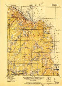
1921 · Plymouth
USGS Topo · 1:62,500
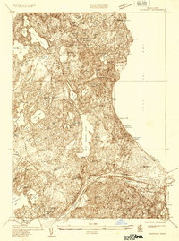
1933 · Sagamore
USGS Topo · 1:24,000
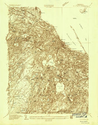
1934 · Plymouth
USGS Topo · 1:24,000
Featured Places
- Plymouth, MA
- Churchill Landing, Plymouth
- Beach Park, Plymouth
- Manomet Heights, Plymouth
- Manomet, Plymouth