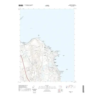
2021 Map of Manomet
USGS Topo · Published 2021About this map
Manomet Point and the rocky shoals of the Plymouth shoreline anchor this 2021 survey, illustrating a landscape defined by its coastal settlements and glacial topography. Densely clustered residential areas at Priscilla Beach and White Horse Beach give way to the forested elevations of The Pinehills and Manomet Hill. The interior is punctuated by numerous kettle ponds and reservoirs, including Shallow Pond, Fresh Pond, and Indian Brook Reservoir. This modern record reveals how historical infrastructure, such as the Old Sandwich Rd, persists alongside newer developments. For local historians and genealogists, the map identifies specific community landmarks including Manomet Cem and White Horse Cem, as well as named coastal features like Stage Point and Mary Ann Rocks that have long signaled danger to maritime navigation.
Find a feature on this map
106 named features on this map. Tap any name to fly to it.
Don’t see what you’re looking for? This feature index may not catch every label — zoom into the map to look around manually.
Map Details
Editions of this 2021 Manomet Map
This is the sole edition of this map. No revisions or reprints were ever made.
Other maps of this area

1885 · Duxbury
USGS Topo · 1:62,500

1886 · Plymouth
USGS Topo · 1:62,500

1888 · Duxbury
USGS Topo · 1:62,500

1889 · Plymouth
USGS Topo · 1:62,500

1893 · Duxbury
USGS Topo · 1:62,500

1894 · Plymouth
USGS Topo · 1:62,500

1918 · Duxbury
USGS Topo · 1:62,500
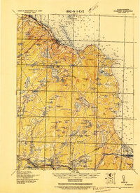
1921 · Plymouth
USGS Topo · 1:62,500
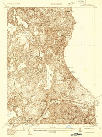
1933 · Sagamore
USGS Topo · 1:24,000
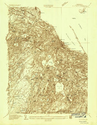
1934 · Plymouth
USGS Topo · 1:24,000
Featured Places
- Plymouth, MA
- Churchill Landing, Plymouth
- Beach Park, Plymouth
- Manomet Heights, Plymouth
- Manomet, Plymouth