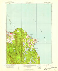
1941 Map of Manomet
USGS Topo · Published 1958About this map
Cranberry cultivation and coastal leisure define this 1941 landscape along the western shores of Cape Cod Bay. The map reveals an extensive network of specialized agriculture, including the Beaverdam Cranberry Bogs, Maple Swamp Bog, Pine Bog, and Indian Brook Bog, which occupy the low-lying basins between glacial hills. Coastal settlements like Priscilla Beach, White Horse Beach, and Manomet Bluffs line the shore, punctuated by maritime infrastructure like the Coast Guard Sta at Manomet Pt. Further inland, the high ground of the Plymouth Hills rises toward Telegraph Hill and Manomet Hill, while historic corridors such as Old Sandwich Road wind through the terrain. The presence of Fishermans Ldg and Churchill Ldg highlights the community's enduring connection to the sea and local freshwater resources like Fresh Pond.
Find a feature on this map
41 named features on this map. Tap any name to fly to it.
Don’t see what you’re looking for? This feature index may not catch every label — zoom into the map to look around manually.
Map Details
Editions of this 1941 Manomet Map
This is the sole edition of this map. No revisions or reprints were ever made.
Other maps of this area

1885 · Duxbury
USGS Topo · 1:62,500

1886 · Plymouth
USGS Topo · 1:62,500

1888 · Duxbury
USGS Topo · 1:62,500

1889 · Plymouth
USGS Topo · 1:62,500

1893 · Duxbury
USGS Topo · 1:62,500

1894 · Plymouth
USGS Topo · 1:62,500

1918 · Duxbury
USGS Topo · 1:62,500
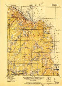
1921 · Plymouth
USGS Topo · 1:62,500
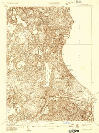
1933 · Sagamore
USGS Topo · 1:24,000
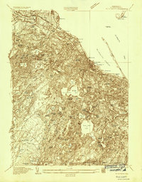
1934 · Plymouth
USGS Topo · 1:24,000
Featured Places
- Plymouth, MA
- Priscilla Beach, Plymouth
- Manomet Heights, Plymouth
- Churchill Landing, Plymouth
- Fishermans Landing, Plymouth