2024 Map of Mantador
USGS Topo · Published 2024About this map
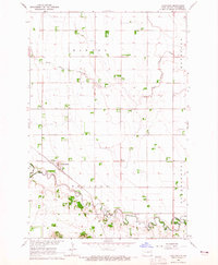
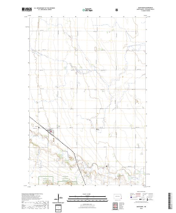
Mantador anchors this section of Richland County, where the agricultural grid of the Red River Valley meets the rolling terrain of the Hankinson Hills. The Wild Rice River winds through the southern portion of the map, creating a complex corridor of oxbows and wetlands that contrasts with the geometric precision of the surrounding section lines. This area includes the northern reaches of the Sheyenne National Grassland, a distinctive landscape of tallgrass prairie and sand dunes preserved amidst the region's intensive farming.
Find a feature on this map
30 named features on this map. Tap any name to fly to it.
Don’t see what you’re looking for? This feature index may not catch every label — zoom into the map to look around manually.
Map Details
Editions of this 2024 Mantador Map
This is the sole edition of this map. No revisions or reprints were ever made.
Historical Maps of Mooreton Township Through Time
3 maps found