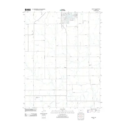
2012 Map of Mantey
USGS Topo · Published 2012About this map
The Little Osage River defines the southern reaches of this Linn County landscape, where the prairie transition is marked by a complex network of drainage creeks including Elk Cr and Lost Cr. This 2012 survey captures the rural character of eastern Kansas, centered on the small settlement of Mantey. The grid of section roads, such as Neil Rd and Lee Rd, organizes a territory where family legacy is preserved at the Shaw Cem and Curry Cem.
Find a feature on this map
70 named features on this map. Tap any name to fly to it.
Don’t see what you’re looking for? This feature index may not catch every label — zoom into the map to look around manually.
Map Details
Editions of this 2012 Mantey Map
This is the sole edition of this map. No revisions or reprints were ever made.
Other maps of this area

1884 · Fort Scott
USGS Topo · 1:125,000

1886 · Fort Scott
USGS Topo · 1:125,000

1887 · Mound City
USGS Topo · 1:125,000

1893 · Fort Scott
USGS Topo · 1:125,000

1893 · Mound City
USGS Topo · 1:125,000

1947 · Lawrence
USGS Topo · 1:250,000

1947 · Joplin
USGS Topo · 1:250,000

1949 · Joplin
USGS Topo · 1:250,000

1950 · Lawrence
USGS Topo · 1:250,000

1954 · Joplin
USGS Topo · 1:250,000