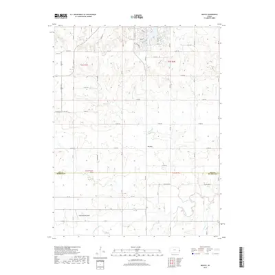
2018 Map of Mantey
USGS Topo · Published 2018About this map
The Little Osage River winds through the southern reaches of this landscape, marking the transition between the rolling uplands of Linn Co and Bourbon Co. The settlement of Mantey sits at a crossroads in the center of the sheet, surrounded by a dense grid of agricultural section roads including Yellowstone Rd and Yale Rd. This rural landscape is defined by its drainage network, with Lost Creek and Elk Creek cutting through the terrain toward larger basins. Family history is anchored in several local sites, including the Shaw Cemetery in the northwest and Curry Cemetery near E 850th Rd. Aviation interest is represented by the Greg Post Farms Airport located south of the county line, while the northern boundary is marked by a concentration of residential lanes like Sunset Dr and Blackberry Dr near Mine Creek.
Find a feature on this map
61 named features on this map. Tap any name to fly to it.
Don’t see what you’re looking for? This feature index may not catch every label — zoom into the map to look around manually.
Map Details
Editions of this 2018 Mantey Map
This is the sole edition of this map. No revisions or reprints were ever made.
Other maps of this area

1884 · Fort Scott
USGS Topo · 1:125,000

1886 · Fort Scott
USGS Topo · 1:125,000

1887 · Mound City
USGS Topo · 1:125,000

1893 · Fort Scott
USGS Topo · 1:125,000

1893 · Mound City
USGS Topo · 1:125,000

1947 · Lawrence
USGS Topo · 1:250,000

1947 · Joplin
USGS Topo · 1:250,000

1949 · Joplin
USGS Topo · 1:250,000

1950 · Lawrence
USGS Topo · 1:250,000

1954 · Joplin
USGS Topo · 1:250,000