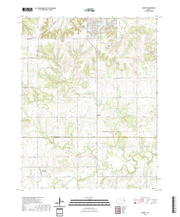
2022 Map of Mantey
USGS Topo · Published 2022About this map
The Little Osage River defines the southern reach of this landscape along the boundary between Linn and Bourbon Counties. Central to the area is the small settlement of Mantey, situated where a grid of rural roads meets the prairie drainage systems. The terrain is deeply etched by a network of seasonal and perennial waterways including Lost Creek, Elk Creek, and Mine Creek, which dictate the local topography and placement of infrastructure.
Find a feature on this map
66 named features on this map. Tap any name to fly to it.
Don’t see what you’re looking for? This feature index may not catch every label — zoom into the map to look around manually.
Map Details
Editions of this 2022 Mantey Map
This is the sole edition of this map. No revisions or reprints were ever made.
Other maps of this area

1884 · Fort Scott
USGS Topo · 1:125,000

1886 · Fort Scott
USGS Topo · 1:125,000

1887 · Mound City
USGS Topo · 1:125,000

1893 · Fort Scott
USGS Topo · 1:125,000

1893 · Mound City
USGS Topo · 1:125,000

1947 · Lawrence
USGS Topo · 1:250,000

1947 · Joplin
USGS Topo · 1:250,000

1949 · Joplin
USGS Topo · 1:250,000

1950 · Lawrence
USGS Topo · 1:250,000

1954 · Joplin
USGS Topo · 1:250,000