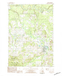
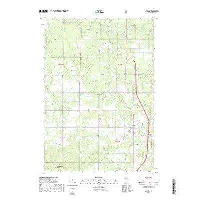
1983 Map of Manton
USGS Topo · Published 1984About this map
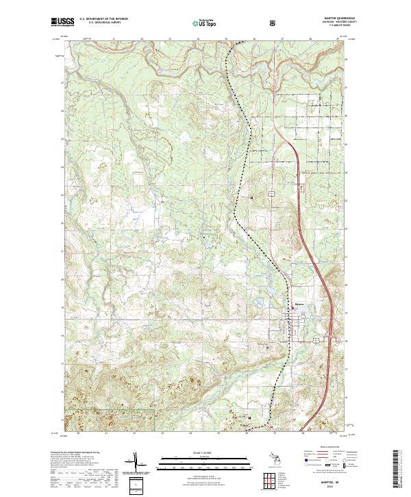
The Michigan Northern railroad cuts through the heart of Manton, Wexford County, providing a structural axis for this northern Michigan landscape in the early 1980s. This survey illustrates a community deeply integrated with the surrounding Pere Marquette State Forest and the Manistee National Forest. The presence of numerous civic landmarks like Liberty Cem, Greenwood Cem, and the Ch of Christ Disciples church suggests a stable, multigenerational settlement pattern across the townships of Liberty and Greenwood.
Find a feature on this map
25 named features on this map. Tap any name to fly to it.
Don’t see what you’re looking for? This feature index may not catch every label — zoom into the map to look around manually.
Map Details
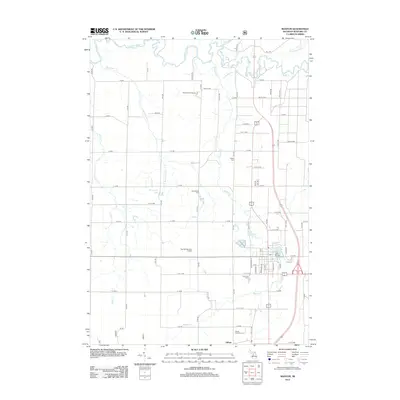
Editions of this 1983 Manton Map
This is the sole edition of this map. No revisions or reprints were ever made.
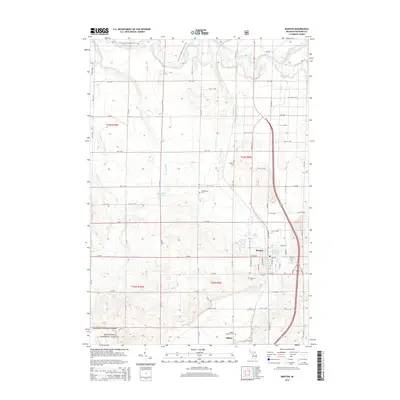
Historical Maps of Manton Through Time
6 maps found
Featured Locations
- Manton, MI
- Cedar Creek Township, MI
- Colfax Township, MI
- Greenwood Township, MI
- Gilbert, Cedar Creek Township