Loading...
Loading map...2023 Map of Manuelito
USGS Topo · Published 2023About this map
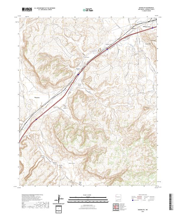
The Puerco River valley serves as the primary corridor for movement through this high-desert landscape in McKinley County. Following the river's path, the modern infrastructure of the Port of Entry near Defiance anchors the northern end of the map, while the settlement of Manuelito sits further south along the wash. The terrain is defined by a dense network of drainages and named formations, including the striking Blue Eyes Hill and Torrivio Mesa.
Find a feature on this map
51 named features on this map. Tap any name to fly to it.
Don’t see what you’re looking for? This feature index may not catch every label — zoom into the map to look around manually.
Map Details
Date Portrayed2023
Date Published2023
PublisherU.S. Geological Survey
Map TypeTopographic
Scale1:24000
Physical Dimensions24 x 29 inches
Editions of this 2023 Manuelito Map
This is the sole edition of this map. No revisions or reprints were ever made.
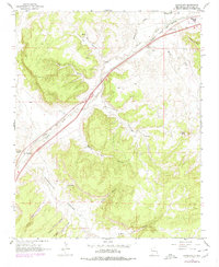
Historical Maps of Defiance Through Time
Featured Locations
- United States
- Eastern Navajo Agency, NM
- McKinley County, NM
- Defiance, NM
- Manuelito, Eastern Navajo Agency
Source Details
SourceU.S. Geological Survey
CopyrightPublic Domain