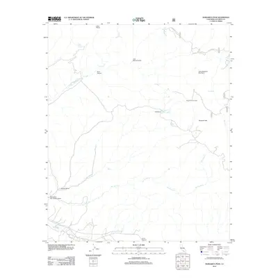
2012 Map of Margarita Peak
USGS Topo · Published 2012About this map
The Santa Margarita Mountains dominate this 2012 survey, revealing the complex drainage systems and high-elevation landmarks of northern San Diego County. The landscape is defined by its water sources, including White Oak Springs, Case Spring, and Case Springs Lake, which serve as vital points in this arid upland terrain. The presence of the Margarita Lookout Tower near Margarita Peak indicates the area's importance for wildfire observation and regional oversight.
Find a feature on this map
21 named features on this map. Tap any name to fly to it.
Don’t see what you’re looking for? This feature index may not catch every label — zoom into the map to look around manually.
Map Details
Editions of this 2012 Margarita Peak Map
This is the sole edition of this map. No revisions or reprints were ever made.
Other maps of this area

1901 · Southern California Sheet No. 1
USGS Topo · 1:250,000

1901 · Elsinore
USGS Topo · 1:125,000

1901 · San Luis Rey
USGS Topo · 1:125,000

1902 · Capistrano
USGS Topo · 1:125,000

1902 · Corona
USGS Topo · 1:125,000

1904 · Southern California Sheet No. 2
USGS Topo · 1:250,000

1904 · Southern California Sheet No. 1
USGS Topo · 1:250,000

1906 · Capistrano
USGS Topo · 1:125,000

1941 · Margarita Peak
USGS Topo · 1:62,500

1942 · Lake Elsinore
USGS Topo · 1:62,500