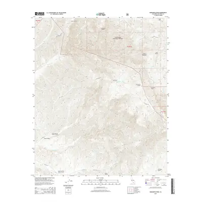
2015 Map of Margarita Peak
USGS Topo · Published 2015About this map
The Santa Margarita Mountains dominate this coastal range landscape, providing a complex terrain of deep canyons and high summits in northern San Diego County. Within the boundaries of the Cleveland National Forest, the map reveals a network of essential water sources including White Oak Springs, Case Spring, and Case Springs Lake. These features, along with the distinct plateau of Indian Potrero, illustrate the vital role of mountain hydrology in this arid region.
Find a feature on this map
32 named features on this map. Tap any name to fly to it.
Don’t see what you’re looking for? This feature index may not catch every label — zoom into the map to look around manually.
Map Details
Editions of this 2015 Margarita Peak Map
This is the sole edition of this map. No revisions or reprints were ever made.
Other maps of this area

1901 · Southern California Sheet No. 1
USGS Topo · 1:250,000

1901 · Elsinore
USGS Topo · 1:125,000

1901 · San Luis Rey
USGS Topo · 1:125,000

1902 · Capistrano
USGS Topo · 1:125,000

1902 · Corona
USGS Topo · 1:125,000

1904 · Southern California Sheet No. 2
USGS Topo · 1:250,000

1904 · Southern California Sheet No. 1
USGS Topo · 1:250,000

1906 · Capistrano
USGS Topo · 1:125,000

1941 · Margarita Peak
USGS Topo · 1:62,500

1942 · Lake Elsinore
USGS Topo · 1:62,500