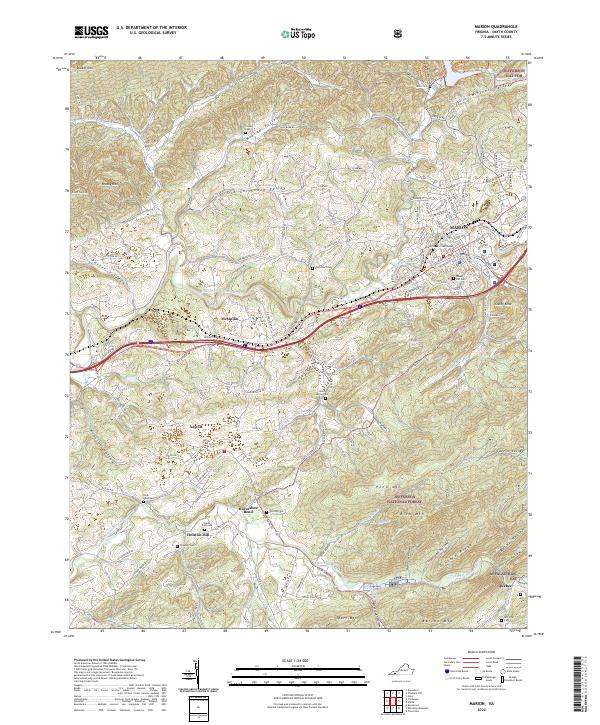
2022 Map of Marion
USGS Topo · Published 2022About this map
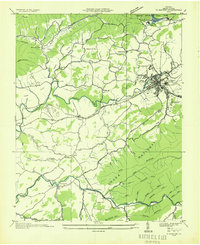
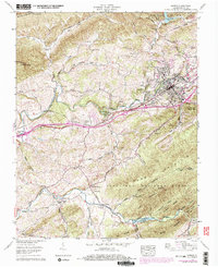
The town of Marion, the seat of Smyth County, serves as the central hub of this modern topographic survey, situated at the confluence of the Middle Fork Holston River and Hungry Mother Cr. The local geography is defined by a series of parallel ridges and valleys, including Wassum Valley and Porter Valley, which channel transportation along historical corridors. The Norfolk Southern railway and Us HWY 11 parallel the river, tracing the same low-ground paths used since the early settlement of the region.
Find a feature on this map
60 named features on this map. Tap any name to fly to it.
Don’t see what you’re looking for? This feature index may not catch every label — zoom into the map to look around manually.
Map Details
Editions of this 2022 Marion Map
This is the sole edition of this map. No revisions or reprints were ever made.