
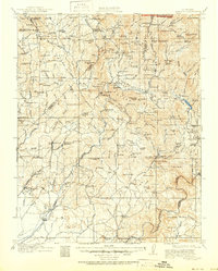
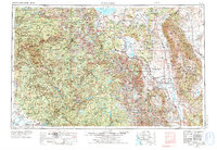
1963 Map of Mariposa
USGS Topo · Published 1963About this map
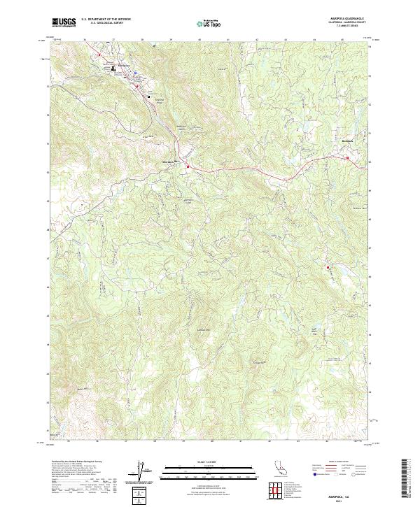
The High Sierra and Owens Valley define this region, where the steep ascent from the western foothills to the granite peaks of the Cathedral Range creates a dramatic divide. Around the historic town of Mariposa, small settlements like Mormon Bar and Bootjack reflect the area's gold-rush origins. The map documents the mid-century infrastructure of the Sierra Nevada, featuring massive water projects such as the Hetch Hetchy Reservoir and Millerton Lake. Within Yosemite National Park, early tourism landmarks like the Glacier Point Hotel and various administrative outposts, including the Crane Flat Ranger Station, are clearly marked. To the east, the landscape drops sharply into the high desert near Bishop and the saline waters of Mono Lake. This survey provides a comprehensive view of the transition from industrial mining at sites like Old Star Mine to the growing recreational and water-management networks of the 1960s.
Find a feature on this map
155 named features on this map. Tap any name to fly to it.
Don’t see what you’re looking for? This feature index may not catch every label — zoom into the map to look around manually.
Map Details
Editions of this 1963 Mariposa Map
This is the sole edition of this map. No revisions or reprints were ever made.
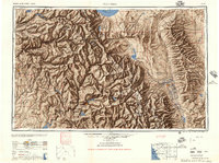
Historical Maps of Mammoth Lakes Through Time
11 maps found
1912 Mariposa
Mariposa County, CA
1947 Mariposa
Mariposa County, CA
1947 Mariposa
Mariposa County, CA
1947 Mariposa
Mariposa County, CA

1948 Mariposa
Mariposa County, CA
1957 Mariposa
Mariposa County, CA
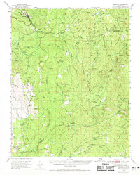
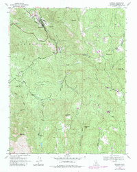
1963 Mariposa
Mariposa County, CA
2012 Mariposa
Mariposa County, CA
2015 Mariposa
Mariposa County, CA
2018 Mariposa
Mariposa County, CA
2021 Mariposa
Mariposa County, CA
Featured Locations
- Mammoth Lakes, CA
- Coarsegold, CA
- Oakhurst, CA
- Bishop, CA
- Dixon Lane–Meadow Creek, Dixon Lane-Meadow Creek