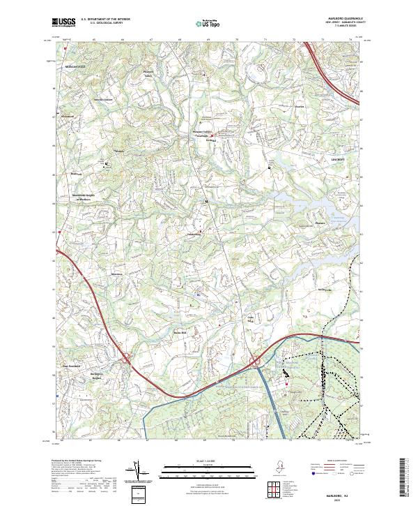
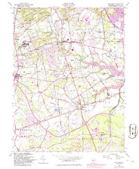
2023 Map of Marlboro
USGS Topo · Published 2023About this map
Colts Neck and the surrounding Monmouth County countryside are defined by a complex network of brooks and legacy family settlements in this modern survey. The area is characterized by significant water features, from the expansive Swimming River Reservoir to the dense Hockhockson Swamp and the waters of Marlu Lake. Historically established community hubs such as Phalanx, Scobeyville, and Montrose are well-documented, alongside several notable burial grounds including the Smock Family Cem, Conover Cem, and Saint Gabriels Cem. The transition from rural roots to modern development is evident in the presence of the Hop Brook Farm Airport and Brookdale Community College. Landmarks like Bucks Mill and Sugar Loaf Hill provide clear reference points for those studying the local topography and the evolution of the Yellow Brook and Hop Brook drainage basins.
Find a feature on this map
48 named features on this map. Tap any name to fly to it.
Don’t see what you’re looking for? This feature index may not catch every label — zoom into the map to look around manually.
Map Details
Editions of this 2023 Marlboro Map
This is the sole edition of this map. No revisions or reprints were ever made.
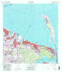
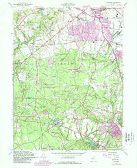
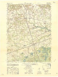
Historical Maps of Everett Through Time
25 maps found

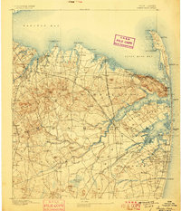
1888 Sandy Hook
Monmouth County, NJ
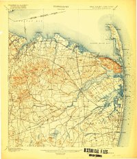
1893 Sandy Hook
Monmouth County, NJ
1901 Sandy Hook
Monmouth County, NJ

1918 Sandy Hook
Monmouth County, NJ

1944 Jersey Homesteads
Monmouth County, NJ
1947 Adelphia
Monmouth County, NJ
1947 Freehold
Monmouth County, NJ
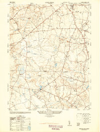
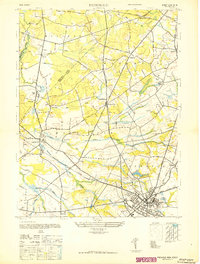
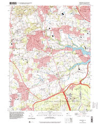
1947 Marlboro
Monmouth County, NJ
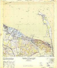
1947 Sandy Hook
Monmouth County, NJ
1947 Sandy Hook
Monmouth County, NJ

1953 Freehold
Monmouth County, NJ
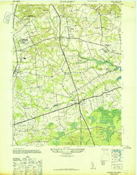
1954 Marlboro
Monmouth County, NJ
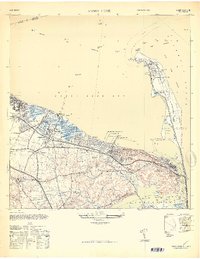
1954 Sandy Hook
Monmouth County, NJ
1957 Adelphia
Monmouth County, NJ
1958 Marlboro
Monmouth County, NJ
1995 Marlboro
Monmouth County, NJ
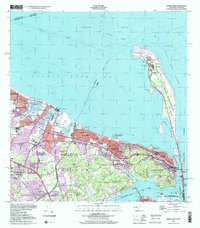
1998 Sandy Hook
Monmouth County, NJ
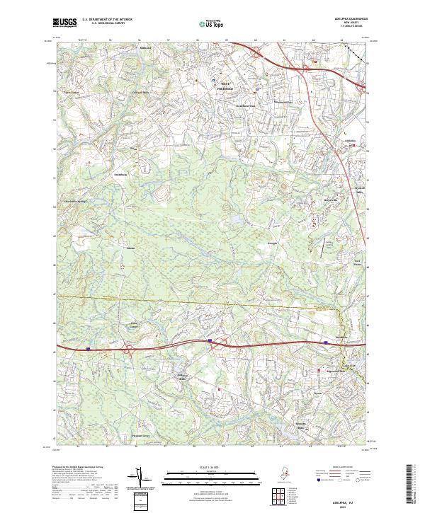
2023 Adelphia
Monmouth County, NJ
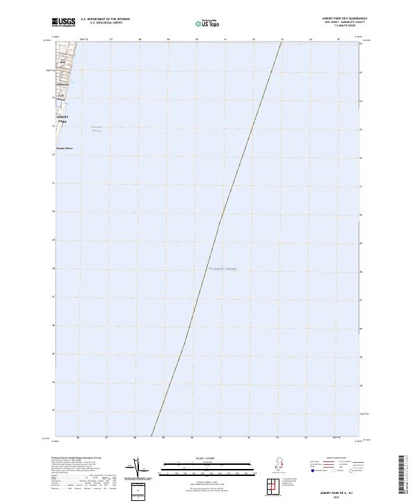
2023 Asbury Park OE E
Monmouth County, NJ
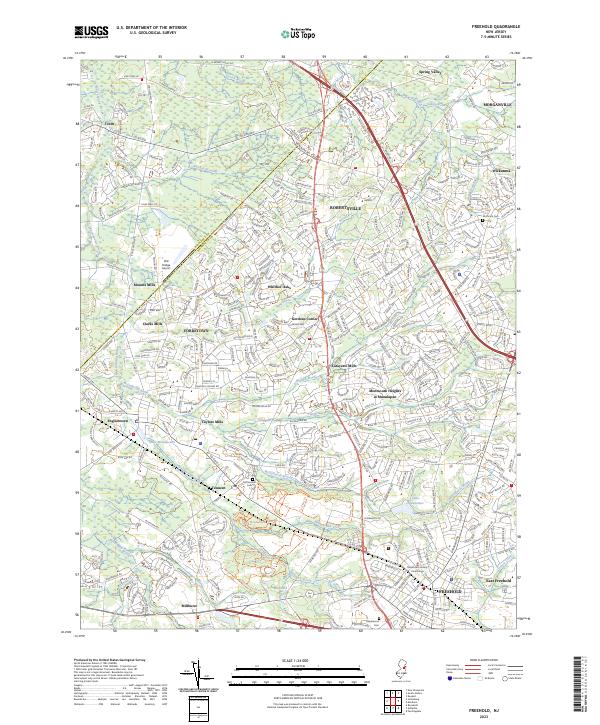
2023 Freehold
Monmouth County, NJ
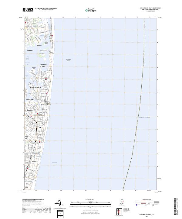
2023 Long Branch East
Monmouth County, NJ
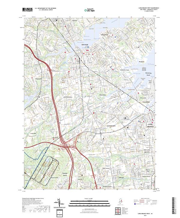
2023 Long Branch West
Monmouth County, NJ
2023 Marlboro
Monmouth County, NJ
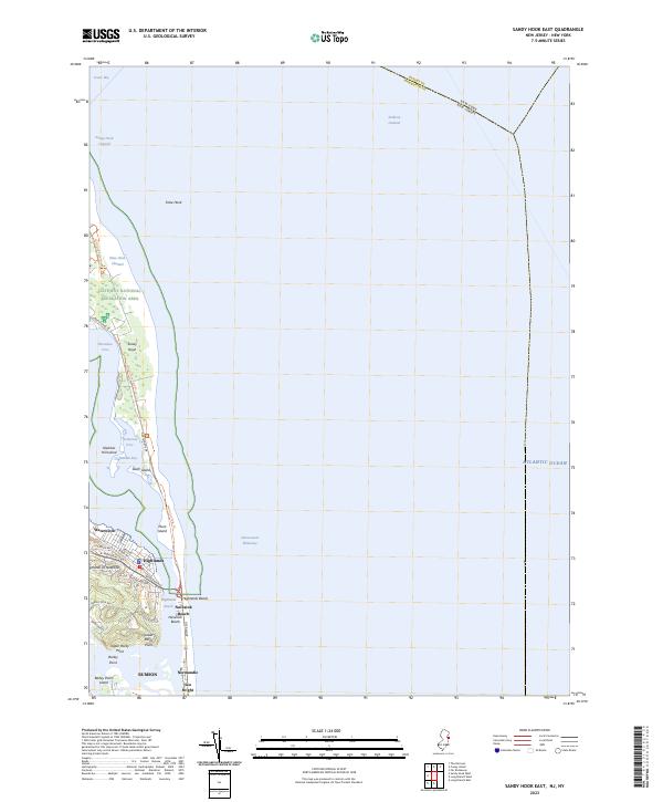
2023 Sandy Hook East
Monmouth County, NJ

2023 Sandy Hook West
Monmouth County, NJ
Featured Locations
- Howell Township, NJ
- Marlboro Township, NJ
- Middletown Township, NJ
- Wall Township, NJ
- Freehold Township, NJ