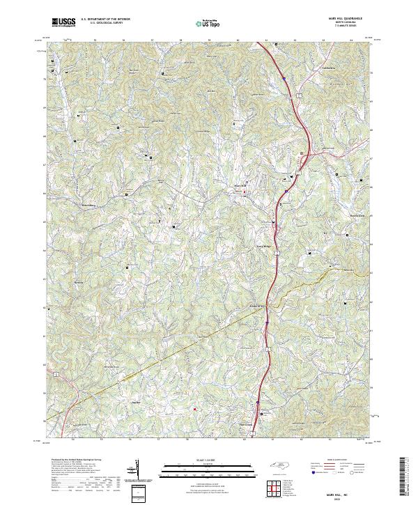
2022 Map of Mars Hill
USGS Topo · Published 2022About this map
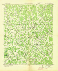
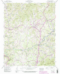
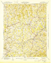
The higher elevations of Madison County and Buncombe County define this area of the Blue Ridge, centered on the historic campus of Mars Hill College. The landscape is deeply carved by watercourses like Bull Creek, Ivy Creek, and California Creek, which shaped the early paths for settlements such as Petersburg, Beech Glen, and California. The terrain is characterized by prominent ridges and gaps, including Grapevine Ridge, Bailey Ridge, and Hamp Gap, creating a complex network of hollows and knobs.
Find a feature on this map
91 named features on this map. Tap any name to fly to it.
Don’t see what you’re looking for? This feature index may not catch every label — zoom into the map to look around manually.
Map Details
Editions of this 2022 Mars Hill Map
This is the sole edition of this map. No revisions or reprints were ever made.
Historical Maps of Jupiter Through Time
4 maps found