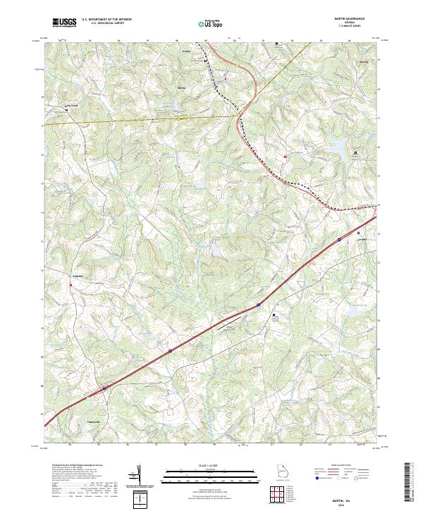
2024 Map of Martin
USGS Topo · Published 2024About this map
Martin and Avalon anchor the northern landscape of this Georgia quadrangle, where the boundary between Stephens Co and Franklin Co intersects a terrain defined by the headwaters of the North Fork Broad River. The area is characterized by a high density of small water bodies, including Shady Lake and a series of numbered reservoirs such as Reservoir 32 and Reservoir 33, which reflect the region's managed hydrography. In the northeast, the settlement of Gumlog sits near the winding path of Gum Log Creek, while the southern reaches extend toward the outskirts of Lavonia and Carnesville. For genealogists and local historians, the map provides precise locations for numerous burial sites, including the Martin Community Cem, Pleasant Hill Baptist Church Cem, and Hurricane Grove Cem. The presence of the Broad River Air Park near the center of the sheet highlights the integration of modern infrastructure into this largely rural topography.
Find a feature on this map
141 named features on this map. Tap any name to fly to it.
Don’t see what you’re looking for? This feature index may not catch every label — zoom into the map to look around manually.
Map Details
Editions of this 2024 Martin Map
This is the sole edition of this map. No revisions or reprints were ever made.