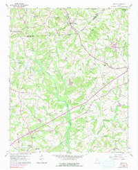
1960 Map of Martin
USGS Topo · Published 1991About this map
Martin and Carnesville anchor this 1960 survey of Northeast Georgia, where the Southern railroad line cuts a diagonal path across the landscape through Avalon. The terrain is defined by the drainage network of the North Fork Broad River, which creates a broad valley floor amidst the rising hills of the Piedmont. The map reveals a deeply rooted rural community, marked by a high density of country churches and schools that served as local social hubs.
Find a feature on this map
34 named features on this map. Tap any name to fly to it.
Don’t see what you’re looking for? This feature index may not catch every label — zoom into the map to look around manually.
Map Details
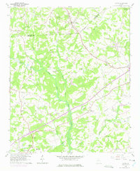
Editions of this 1960 Martin Map
3 editions found
Other maps of this area

1886 · Walhalla
USGS Topo · 1:125,000

1891 · Carnesville
USGS Topo · 1:125,000

1892 · Walhalla
USGS Topo · 1:125,000

1896 · Walhalla
USGS Topo · 1:125,000

1954 · Greenville
USGS Topo · 1:250,000

1958 · Greenville
USGS Topo · 1:250,000

1959 · Carnesville
USGS Topo · 1:24,000

1959 · Lavonia
USGS Topo · 1:24,000

1959 · Royston
USGS Topo · 1:24,000

1960 · Martin
USGS Topo · 1:24,000