
1960 Map of Martin
USGS Topo · Published 1962About this map
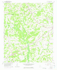
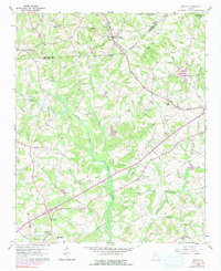
The North Fork Broad River and its numerous tributaries, including Toms Creek and Turkey Creek, define the landscape of the Georgia Piedmont at the dawn of the 1960s. The Southern railroad corridor remains the primary transit spine, anchoring the towns of Avalon and Martin in the northern reach. This survey reflects a deeply established rural community, marked by a dense network of country churches and educational landmarks such as the Line Academy and the Carnesville Trade Sch. Evidence of local heritage is found at the C O Hall Monument and through several named congregations like Greater Hope Ch and Broad River Ch. The map illustrates the transition from traditional agrarian patterns toward the mid-century era, with a Telephone Line cutting across the eastern terrain near Bear Creek.
Find a feature on this map
30 named features on this map. Tap any name to fly to it.
Don’t see what you’re looking for? This feature index may not catch every label — zoom into the map to look around manually.
Map Details
Editions of this 1960 Martin Map
3 editions found
Other maps of this area

1886 · Walhalla
USGS Topo · 1:125,000

1891 · Carnesville
USGS Topo · 1:125,000

1892 · Walhalla
USGS Topo · 1:125,000

1896 · Walhalla
USGS Topo · 1:125,000

1954 · Greenville
USGS Topo · 1:250,000

1958 · Greenville
USGS Topo · 1:250,000

1959 · Carnesville
USGS Topo · 1:24,000

1959 · Lavonia
USGS Topo · 1:24,000

1959 · Royston
USGS Topo · 1:24,000
1963 · Oakway
USGS Topo · 1:24,000