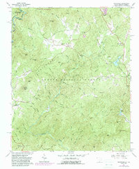
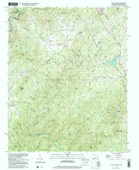
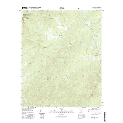
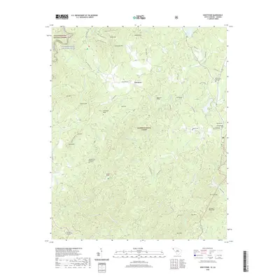
1963 Map of Oakway
USGS Topo · Published 1964About this map
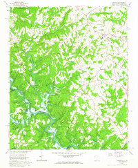
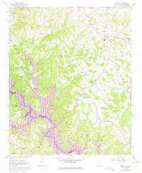
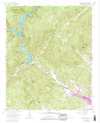
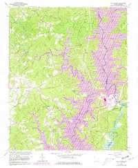
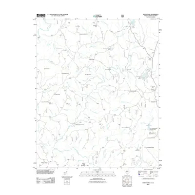
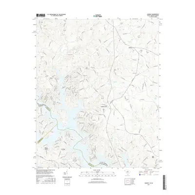
Old Retreat and Oakway anchor this upland landscape in Oconee County, mapped during a period of significant hydrological change. The southern portion of the sheet is dominated by the Hartwell Reservoir, where the rising waters of the Tugaloo River meet the mouths of Eastanollee Creek and Gum Log Creek. This survey captures the rural infrastructure of the early 1960s, showing a network of country churches and schools such as Old Retreat Ch, South Union Ch, and the Fair Play-Oakway Sch.
Find a feature on this map
47 named features on this map. Tap any name to fly to it.
Don’t see what you’re looking for? This feature index may not catch every label — zoom into the map to look around manually.
Map Details
Editions of this 1963 Oakway Map
3 editions found
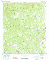
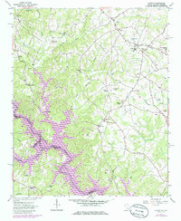
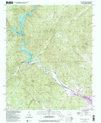
Historical Maps of South Union Through Time
27 maps found
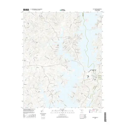
1957 Tugaloo Lake
Oconee County, SC
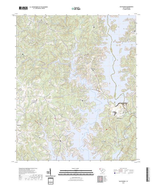
1961 Old Pickens
Oconee County, SC
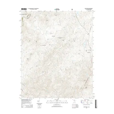
1961 Whetstone
Oconee County, SC
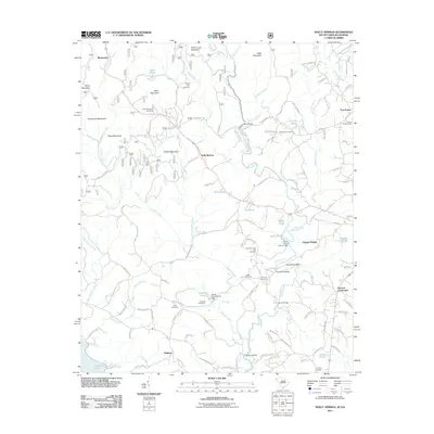
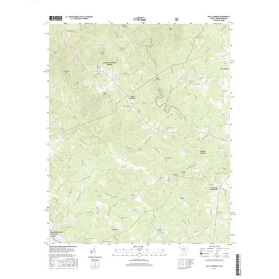
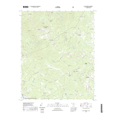
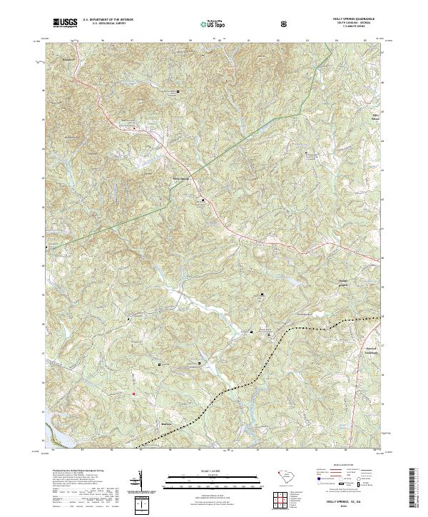
1963 Holly Springs
Oconee County, SC
1963 Oakway
Oconee County, SC
1997 Tugaloo Lake
Oconee County, SC
1997 Whetstone
Oconee County, SC
2011 Holly Springs
Oconee County, SC
2011 Oakway
Oconee County, SC
2011 Old Pickens
Oconee County, SC
2011 Whetstone
Oconee County, SC
2014 Holly Springs
Oconee County, SC
2014 Oakway
Oconee County, SC
2014 Old Pickens
Oconee County, SC
2014 Whetstone
Oconee County, SC
2017 Holly Springs
Oconee County, SC
2017 Oakway
Oconee County, SC
2017 Old Pickens
Oconee County, SC
2017 Whetstone
Oconee County, SC
2020 Holly Springs
Oconee County, SC
2020 Oakway
Oconee County, SC
2020 Old Pickens
Oconee County, SC
2020 Whetstone
Oconee County, SC
2024 Holly Springs
Oconee County, SC
2024 Oakway
Oconee County, SC
2024 Old Pickens
Oconee County, SC
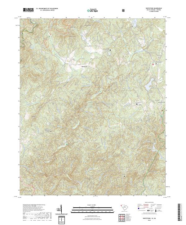
2024 Whetstone
Oconee County, SC