
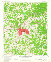
1958 Map of Seneca
USGS Topo · Published 1961About this map
The city of Seneca serves as the central hub of this late-1950s landscape, positioned at a critical junction of the Southern railroad. Industrial and community growth is evident in the nearby mill village of Newry and the settlement of Utica, while the surrounding rural terrain is dotted with ancestral landmarks like Oak Grove Cem and Reedy Fork Ch. A transformative change is underway at the eastern and southern edges of the map, where the Hartwell Reservoir is beginning to take shape. Blue hatching indicates vast areas along the Little River and Keowee River slated for submergence, forever altering the riverfront topography. Local institutions, including the County Hospital and Blue Ridge High Sch, anchor the expanding urban footprint of Oconee County as it prepared for the arrival of the lake waters.
Find a feature on this map
48 named features on this map. Tap any name to fly to it.
Don’t see what you’re looking for? This feature index may not catch every label — zoom into the map to look around manually.
Map Details
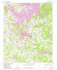
Editions of this 1958 Seneca Map
3 editions found
Other maps of this area

1886 · Walhalla
USGS Topo · 1:125,000

1888 · Pickens
USGS Topo · 1:125,000

1892 · Walhalla
USGS Topo · 1:125,000

1894 · Pickens
USGS Topo · 1:125,000

1896 · Walhalla
USGS Topo · 1:125,000

1950 · La France
USGS Topo · 1:24,000

1951 · La France
USGS Topo · 1:24,000

1951 · Clemson
USGS Topo · 1:24,000

1954 · Greenville
USGS Topo · 1:250,000

1958 · Greenville
USGS Topo · 1:250,000