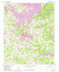
1958 Map of Seneca
USGS Topo · Published 1980About this map
The Southern railroad corridor and the Norfolk Southern lines converge at Seneca, driving the mid-century industrial and residential expansion of this Oconee County hub. To the east, the textile village of Utica and the northern settlement of Newry define the region's manufacturing roots, while newer infrastructure like the Clemson-Oconee County Airport and the Drive-in Theater reflect post-war suburban growth. The landscape is fundamentally altered by the rising waters of Hartwell Lake, which inundates the lower reaches of the Keowee River and Little River. Rural life remains anchored by numerous country sanctuaries such as Mt Nebo Ch and Hephzibah Ch, alongside older community centers like Bounty Land and Corinth. This survey documents a critical period of transition as traditional agrarian communities and mill towns adapt to the massive hydrological changes of the Hartwell project.
Find a feature on this map
47 named features on this map. Tap any name to fly to it.
Don’t see what you’re looking for? This feature index may not catch every label — zoom into the map to look around manually.
Map Details
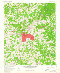
Editions of this 1958 Seneca Map
3 editions found

Other maps of this area

1886 · Walhalla
USGS Topo · 1:125,000

1888 · Pickens
USGS Topo · 1:125,000

1892 · Walhalla
USGS Topo · 1:125,000

1894 · Pickens
USGS Topo · 1:125,000

1896 · Walhalla
USGS Topo · 1:125,000

1950 · La France
USGS Topo · 1:24,000

1951 · La France
USGS Topo · 1:24,000

1951 · Clemson
USGS Topo · 1:24,000

1954 · Greenville
USGS Topo · 1:250,000

1958 · Greenville
USGS Topo · 1:250,000