
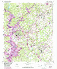
1951 Map of Clemson
USGS Topo · Published 1952About this map
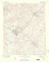
Clemson Agricultural College serves as a central landmark in this 1951 study of the South Carolina foothills, situated where the Seneca River meets the Keowee River. The landscape is defined by the winding waters of Eighteenmile Creek and Twelvemile Creek, showing a region in transition as agricultural lands are interspersed with growing academic and industrial centers like Central and Pendleton. Local heritage is deeply embedded in the map's labels, from the Treaty Oak Monument and Hopewell-Keowee Monument to numerous small institutions like Lawrence Chapel and Abell Sch. The presence of the Southern railroad and the Landing Field near Calhoun highlights the transportation network that connected these educational and textile communities. Notable for genealogists, the map identifies specific landmarks such as Mt Zion Cem and the Old Cem, providing a precise look at the settlement patterns before later twentieth-century development shifted the local geography.
Find a feature on this map
47 named features on this map. Tap any name to fly to it.
Don’t see what you’re looking for? This feature index may not catch every label — zoom into the map to look around manually.
Map Details
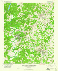
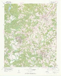
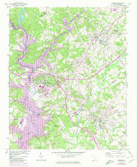
Editions of this 1951 Clemson Map
6 editions found
Other maps of this area

1888 · Pickens
USGS Topo · 1:125,000

1894 · Pickens
USGS Topo · 1:125,000

1950 · La France
USGS Topo · 1:24,000

1951 · La France
USGS Topo · 1:24,000

1954 · Greenville
USGS Topo · 1:250,000

1957 · Anderson
USGS Topo · 1:62,500

1957 · Easley
USGS Topo · 1:62,500

1958 · Greenville
USGS Topo · 1:250,000

1958 · Seneca
USGS Topo · 1:24,000

1958 · Fair Play
USGS Topo · 1:24,000