
1958 Map of Fair Play
USGS Topo · Published 1963About this map
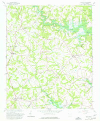
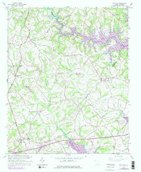
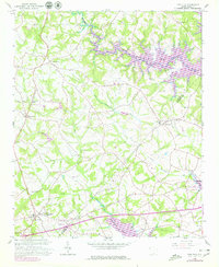
The rolling landscape of the Oconee and Anderson county line was undergoing a major transformation when this survey was field-checked in the late 1950s. Blue hatching across the map indicates the planned expansion of the Hartwell Reservoir, which was set to submerge significant portions of the terrain along Coneross Creek and the various branches of Beaverdam Creek. This period of transition is captured as traditional landmarks, such as Old Hephzibah Ch and Fork Sch, remained centerpiece structures for the rural communities of Townville and Fair Play. The map documents a network of country churches including St Pauls Ch, Rock Hill Ch, and Beaverdam Ch, many of which served as the social anchors for families in settlements like Earles Grove. The intricate system of minor waterways, from Snow Creek to Mud Creek, reveals the natural drainage patterns of the Piedmont before the man-made lake reshaped the shoreline permanently.
Find a feature on this map
23 named features on this map. Tap any name to fly to it.
Don’t see what you’re looking for? This feature index may not catch every label — zoom into the map to look around manually.
Map Details
Editions of this 1958 Fair Play Map
4 editions found
Other maps of this area

1886 · Walhalla
USGS Topo · 1:125,000

1888 · Pickens
USGS Topo · 1:125,000

1891 · Carnesville
USGS Topo · 1:125,000

1892 · Walhalla
USGS Topo · 1:125,000

1893 · Elberton
USGS Topo · 1:125,000

1894 · Pickens
USGS Topo · 1:125,000

1896 · Walhalla
USGS Topo · 1:125,000

1950 · La France
USGS Topo · 1:24,000

1951 · La France
USGS Topo · 1:24,000

1951 · Clemson
USGS Topo · 1:24,000