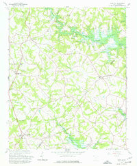
1958 Map of Fair Play
USGS Topo · Published 1977About this map
Townville and Fair Play anchor this late 1950s landscape, which documents the transformation of the upper Savannah River basin as Hartwell Lake began to fill. The boundary between Oconee and Anderson counties follows the meandering courses of Coneross Creek and Beaverdam Creek, illustrating how the waterway defined local jurisdictions before the reservoir altered the shoreline. A network of rural institutions, including Old Hephzibah Ch, Earles Grove, and Beaverdam Ch, reveals the density of community life along the ridge lines.
Find a feature on this map
25 named features on this map. Tap any name to fly to it.
Don’t see what you’re looking for? This feature index may not catch every label — zoom into the map to look around manually.
Map Details
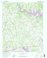
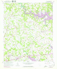
Editions of this 1958 Fair Play Map
4 editions found

Other maps of this area

1886 · Walhalla
USGS Topo · 1:125,000

1888 · Pickens
USGS Topo · 1:125,000

1891 · Carnesville
USGS Topo · 1:125,000

1892 · Walhalla
USGS Topo · 1:125,000

1893 · Elberton
USGS Topo · 1:125,000

1894 · Pickens
USGS Topo · 1:125,000

1896 · Walhalla
USGS Topo · 1:125,000

1950 · La France
USGS Topo · 1:24,000

1951 · La France
USGS Topo · 1:24,000

1951 · Clemson
USGS Topo · 1:24,000