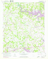
1958 Map of Fair Play
USGS Topo · Published 1979About this map
Hartwell Lake dominates the eastern and southern edges of this area on the border of Oconee and Anderson counties. Based on a 1958 field survey with 1970s revisions, the map captures a rural landscape defined by historic congregations and family burial grounds. Local geography centers on the settlements of Fair Play and Townville, with small rural junctions like Cross Roads serving the surrounding agricultural community. Numerous houses of worship, including Snow Creek Ch, Old Hephzibah Ch, and Shiloh Ch, reflect the social fabric of the era. The terrain is deeply dissected by a network of waterways including Coneross Creek, Beaverdam Creek, and Little Beaverdam Creek, which feed into the primary reservoir. Traces of local education and genealogy are preserved through landmarks like Fork Sch, the Earles Grove cemetery, and Hays Cem.
Find a feature on this map
24 named features on this map. Tap any name to fly to it.
Don’t see what you’re looking for? This feature index may not catch every label — zoom into the map to look around manually.
Map Details
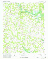
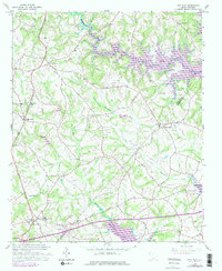
Editions of this 1958 Fair Play Map
4 editions found

Other maps of this area

1886 · Walhalla
USGS Topo · 1:125,000

1888 · Pickens
USGS Topo · 1:125,000

1891 · Carnesville
USGS Topo · 1:125,000

1892 · Walhalla
USGS Topo · 1:125,000

1893 · Elberton
USGS Topo · 1:125,000

1894 · Pickens
USGS Topo · 1:125,000

1896 · Walhalla
USGS Topo · 1:125,000

1950 · La France
USGS Topo · 1:24,000

1951 · La France
USGS Topo · 1:24,000

1951 · Clemson
USGS Topo · 1:24,000