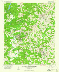
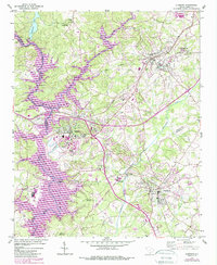
1951 Map of Clemson
USGS Topo · Published 1960About this map
The Clemson Agricultural College campus serves as a central hub on this mid-century survey, situated where the Seneca River and Keowee River converge. The landscape is defined by the transition from collegiate and institutional grounds to the surrounding rural communities of Pendleton, Central, and Calhoun. To the north, the Wesleyan Methodist College and several local schools like Abell Sch and Mt Tabor Sch reflect the area's educational focus during the 1950s.
Find a feature on this map
42 named features on this map. Tap any name to fly to it.
Don’t see what you’re looking for? This feature index may not catch every label — zoom into the map to look around manually.
Map Details
Editions of this 1951 Clemson Map
6 editions found
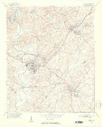
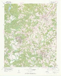
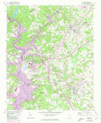
Other maps of this area

1888 · Pickens
USGS Topo · 1:125,000

1894 · Pickens
USGS Topo · 1:125,000

1950 · La France
USGS Topo · 1:24,000

1951 · La France
USGS Topo · 1:24,000

1951 · Clemson
USGS Topo · 1:24,000

1954 · Greenville
USGS Topo · 1:250,000

1957 · Anderson
USGS Topo · 1:62,500

1957 · Easley
USGS Topo · 1:62,500

1958 · Greenville
USGS Topo · 1:250,000

1958 · Seneca
USGS Topo · 1:24,000