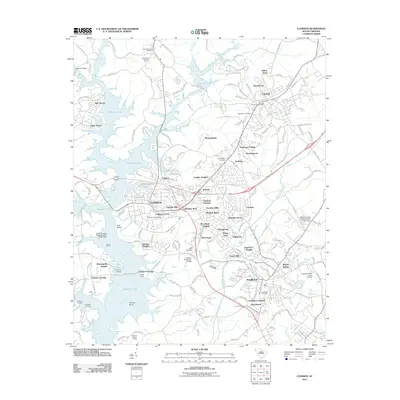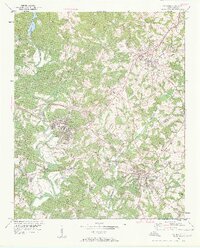
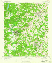
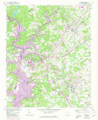
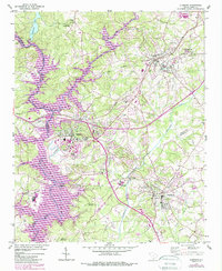
1951 Map of Clemson
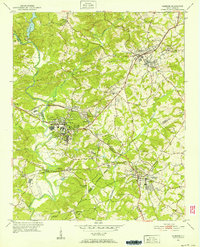
USGS Topo · Published 1960About this map
Clemson Agricultural College serves as the heart of this mid-century landscape, surrounded by the evolving communities of Calhoun and Pendleton. The area is defined by the confluence of the Keowee River and Twelvemile Creek, forming the Seneca River as it winds south toward Pickens Bend. This 1951 survey shows the region before the completion of major reservoir projects, documenting the original riverbanks and local landmarks such as the Fish Hatchery and the Issaqueena Lookout Tower. Educational and spiritual centers like Wesleyan Methodist College, Lawrence Chapel, and Fants Grove Ch are clearly mapped alongside the Southern railroad line. Small rural schools, including Abell Sch and Oak Grove Sch, illustrate the distributed settlement pattern of the era, while monuments like the Treaty Oak Monument and Hopewell-Keowee Monument mark the historical depth of the Upstate.
Find a feature on this map
45 named features on this map. Tap any name to fly to it.
Don’t see what you’re looking for? This feature index may not catch every label — zoom into the map to look around manually.
Map Details
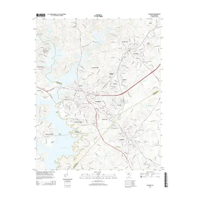
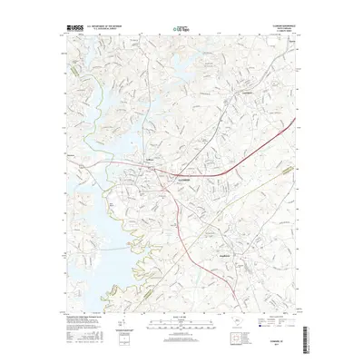
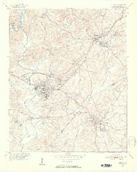
Editions of this 1951 Clemson Map
6 editions found
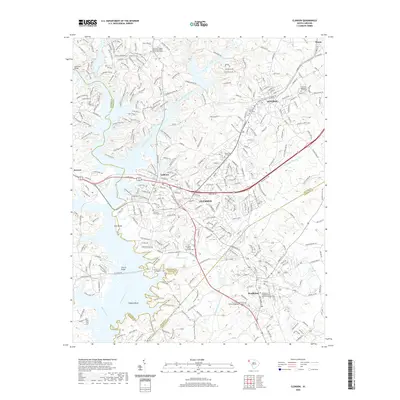
Historical Maps of Clemson Through Time
6 maps found