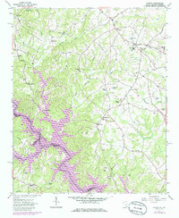
1963 Map of Oakway
USGS Topo · Published 1986About this map
Hartwell Lake dominates the southwestern corner of this landscape, its fingers stretching into the terrain where the Tugaloo River once flowed freely before being impounded. The map captures Oconee County during a period of transition, showing the newly formed shoreline alongside long-established rural communities. Inland, the settlement of Oakway serves as a local hub with its Oakway School, while smaller clusters like Old Retreat and South Union anchor the surrounding agricultural lands. The density of spiritual and social sites is notable, including Old Retreat Church and Tugaloo Church. Numerous family-named ponds and small watercourses like Choestoee Creek and Harbin Creek provide evidence of the area's complex drainage and historical land use. This survey was updated in the mid-1980s to reflect contemporary developments like the Water Tank near the High School while preserving the locations of traditional landmarks like Simpson Store.
Find a feature on this map
64 named features on this map. Tap any name to fly to it.
Don’t see what you’re looking for? This feature index may not catch every label — zoom into the map to look around manually.
Map Details
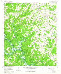
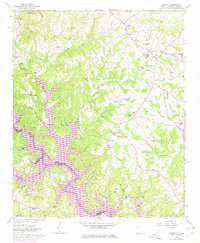
Editions of this 1963 Oakway Map
3 editions found
Other maps of this area

1886 · Walhalla
USGS Topo · 1:125,000

1888 · Pickens
USGS Topo · 1:125,000

1891 · Carnesville
USGS Topo · 1:125,000

1892 · Walhalla
USGS Topo · 1:125,000

1893 · Elberton
USGS Topo · 1:125,000

1894 · Pickens
USGS Topo · 1:125,000

1896 · Walhalla
USGS Topo · 1:125,000

1954 · Greenville
USGS Topo · 1:250,000

1958 · Greenville
USGS Topo · 1:250,000

1958 · Seneca
USGS Topo · 1:24,000