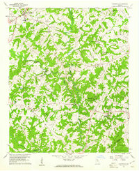
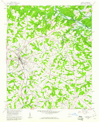
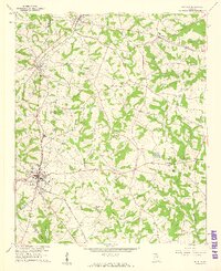
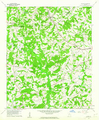
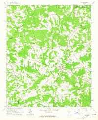
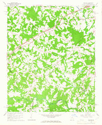
1959 Map of Carnesville
USGS Topo · Published 1961About this map
The North Fork Broad River and Middle Fork Broad River converge in this section of the Georgia Piedmont, creating a landscape of dissected ridges and winding watercourses. This late-1950s survey documents a rural society anchored by small community nodes such as Sandy Cross and Franklin Springs, the latter of which is the site of Emmanuel College. The settlement pattern follows the high ground between creek drainages like Stephens Creek and Nail Creek, with a high density of rural houses and country churches including Liberty Ch and Zidon Ch.
Find a feature on this map
27 named features on this map. Tap any name to fly to it.
Don’t see what you’re looking for? This feature index may not catch every label — zoom into the map to look around manually.
Map Details
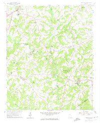
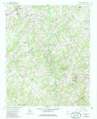
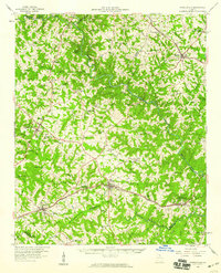
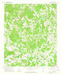
Editions of this 1959 Carnesville Map
Other maps of this area

1891 · Carnesville
USGS Topo · 1:125,000

1954 · Greenville
USGS Topo · 1:250,000

1958 · Greenville
USGS Topo · 1:250,000
1958 · Danielsville
USGS Topo · 1:62,500
1959 · Lavonia
USGS Topo · 1:24,000
1959 · Royston
USGS Topo · 1:24,000
1960 · Martin
USGS Topo · 1:24,000
1964 · Ila
USGS Topo · 1:24,000
1964 · Ashland
USGS Topo · 1:24,000
1964 · Red Hill
USGS Topo · 1:24,000