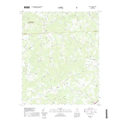
1964 Map of Red Hill
USGS Topo · Published 1965About this map
The North Fork Broad River and Middle Fork Broad River converge in this corner of Northeast Georgia, defining a landscape marked by small rural congregations and family-named water bodies. The settlement of Red Hill serves as a local hub, supported by community landmarks such as Red Hill Lodge and nearby Ellis Chapel. Further west, Mize and Unity anchor the road network as it weaves toward the Chattahoochee National Forest boundary.
Find a feature on this map
60 named features on this map. Tap any name to fly to it.
Don’t see what you’re looking for? This feature index may not catch every label — zoom into the map to look around manually.
Map Details
Editions of this 1964 Red Hill Map
This is the sole edition of this map. No revisions or reprints were ever made.
Historical Maps of Red Hill Through Time
12 maps found
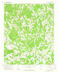
1964 Ashland
Franklin County, GA
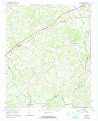
1964 Red Hill
Franklin County, GA
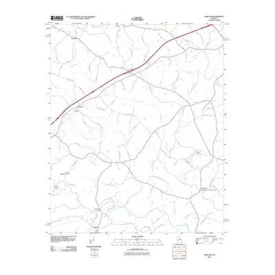
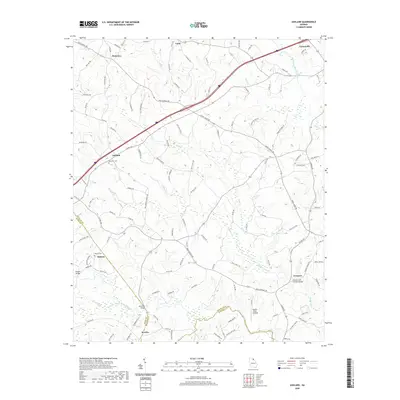
2011 Ashland
Franklin County, GA
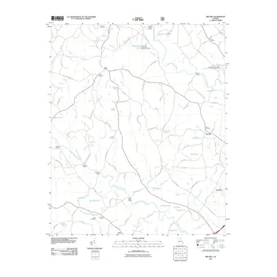
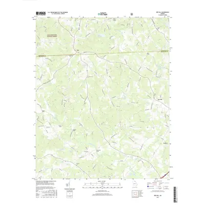
2011 Red Hill
Franklin County, GA
2014 Ashland
Franklin County, GA
2014 Red Hill
Franklin County, GA

2017 Ashland
Franklin County, GA
2017 Red Hill
Franklin County, GA
2020 Ashland
Franklin County, GA
2020 Red Hill
Franklin County, GA
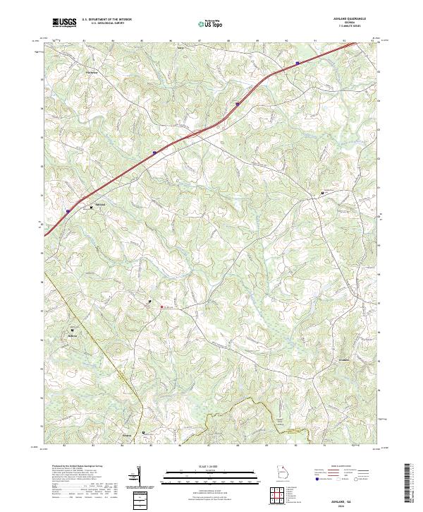
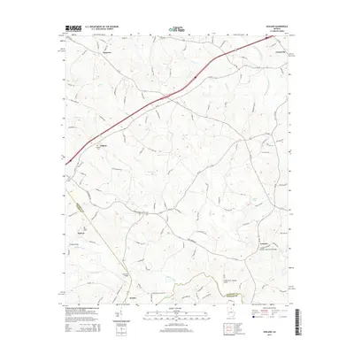
2024 Ashland
Franklin County, GA
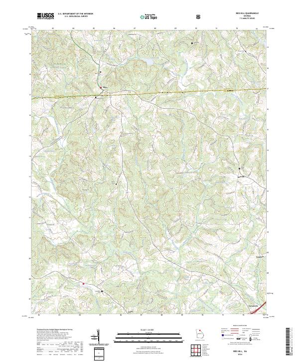
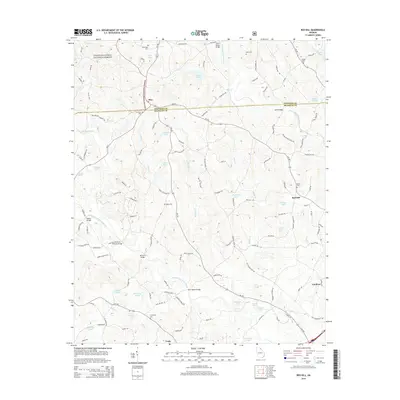
2024 Red Hill
Franklin County, GA