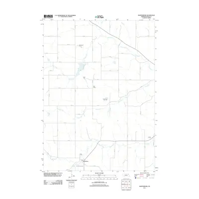
2011 Map of Martinsburg
USGS Topo · Published 2011About this map
The village of Martinsburg serves as the focal point of this northeast Nebraska survey, which details a rural landscape defined by an extensive grid of section roads and a complex network of prairie waterways. Located at the intersection of several tributaries including Sand Creek, South Creek, and the Daily Branch, the village is surrounded by significant local landmarks that speak to the area's social history. Genealogists will find four distinct burial grounds documented: Silver Ridge Cemetery, Trinity Cemetery, Martinsburg Cemetery, and Calvary Cemetery. Water management is a prominent feature of the modern terrain, evidenced by structures such as Curry Dam, Aowa Creek Dam 31-1, and Aowa Creek Dam 12-8, which regulate the flows of Aowa Creek and its branches as they carve through the agricultural fields of Dixon County.
Find a feature on this map
31 named features on this map. Tap any name to fly to it.
Don’t see what you’re looking for? This feature index may not catch every label — zoom into the map to look around manually.
Map Details
Editions of this 2011 Martinsburg Map
This is the sole edition of this map. No revisions or reprints were ever made.
Other maps of this area

1898 · Elk Point
USGS Topo · 1:125,000

1901 · Elk Point
USGS Topo · 1:125,000

1907 · Elk Point
USGS Topo · 1:125,000

1955 · Sioux City
USGS Topo · 1:250,000

1958 · Sioux City
USGS Topo · 1:250,000

1959 · Sioux City
USGS Topo · 1:250,000

1963 · Elk Point
USGS Topo · 1:24,000

1964 · Martinsburg SW
USGS Topo · 1:24,000

1964 · Burbank
USGS Topo · 1:24,000

1964 · Maskell
USGS Topo · 1:24,000
Featured Places
- Martinsburg, NE
- Wakefield Township, NE
- Silvercreek Township, NE
- Ottercreek Township, NE
- Newcastle Township, NE